Fai Quan
formerly known as "Prosaic Traveller"
Cabo San Lucas, Baja California, Mexico
It’s been a long time since we took a trip outside Canada since COVID. This trip was a spur of the moment decision when I was laying on my couch with the sun shining on me through our window. The heat reminded me of being on the beach in Mexico. I quickly planned an all-inclusive week stay at the Riu Palace Cabo San Lucas. In the past, we have stayed on the Mayan side but this time we decided to try the west side. Not as many pictures as I normally post but enough to capture what is offered at Cabo.
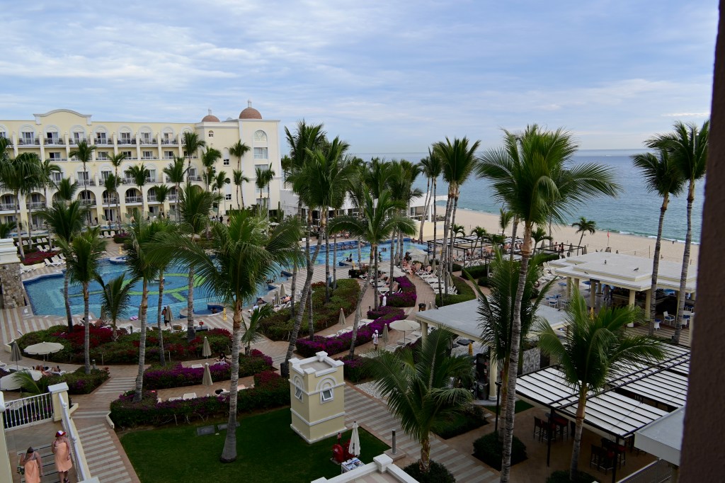
The hotel has three levels with each level containing various buffets & restaurants with the bottom level accessing the pool areas and beach. I don’t think we ever got it straight as to how to get where we wanted to go. Many times we go up a flight of stairs only to turn around and go back down.
Looking out the front entrance of our hotel.
Looking towards the south. Looking towards the north
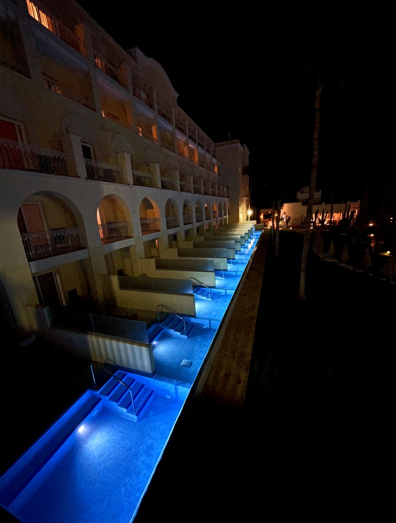
Top left picture is taken from the lounge. The right picture shows the lucky ones who have the money to buy a room with its’ own pool.
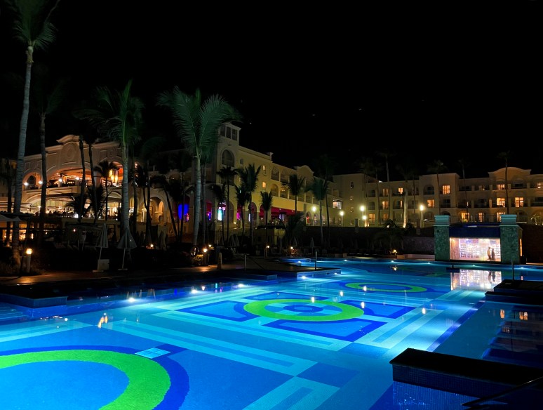
This is one of two identical pools. One is more livelier than the other. So depending upon your mood, you can be constantly entertained with water exercises, water dancing or water polo. The other pool is quieter where you can just relax.
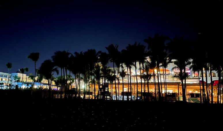
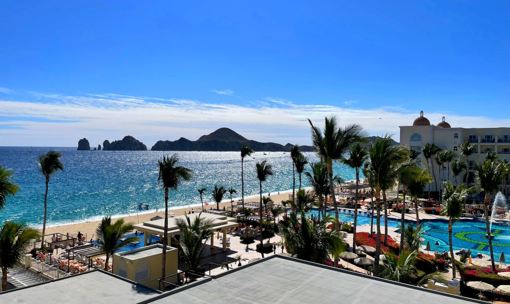
Looking at the back of the hotel from the beach. Individuals were advised not to walk on the beach after dark. Two security people monitored entrances to the hotel from the beach. A dune buggy rode back and forth to deter people from swimming in the ocean. The ocean was red flagged the whole time we were there. Heavy undercurrents.
Crossing the hotel’s private road, we ventured to Riu Sante Fe. This hotel is different as it everything is on one level with separate villas surrounding the pools and main amenities building.
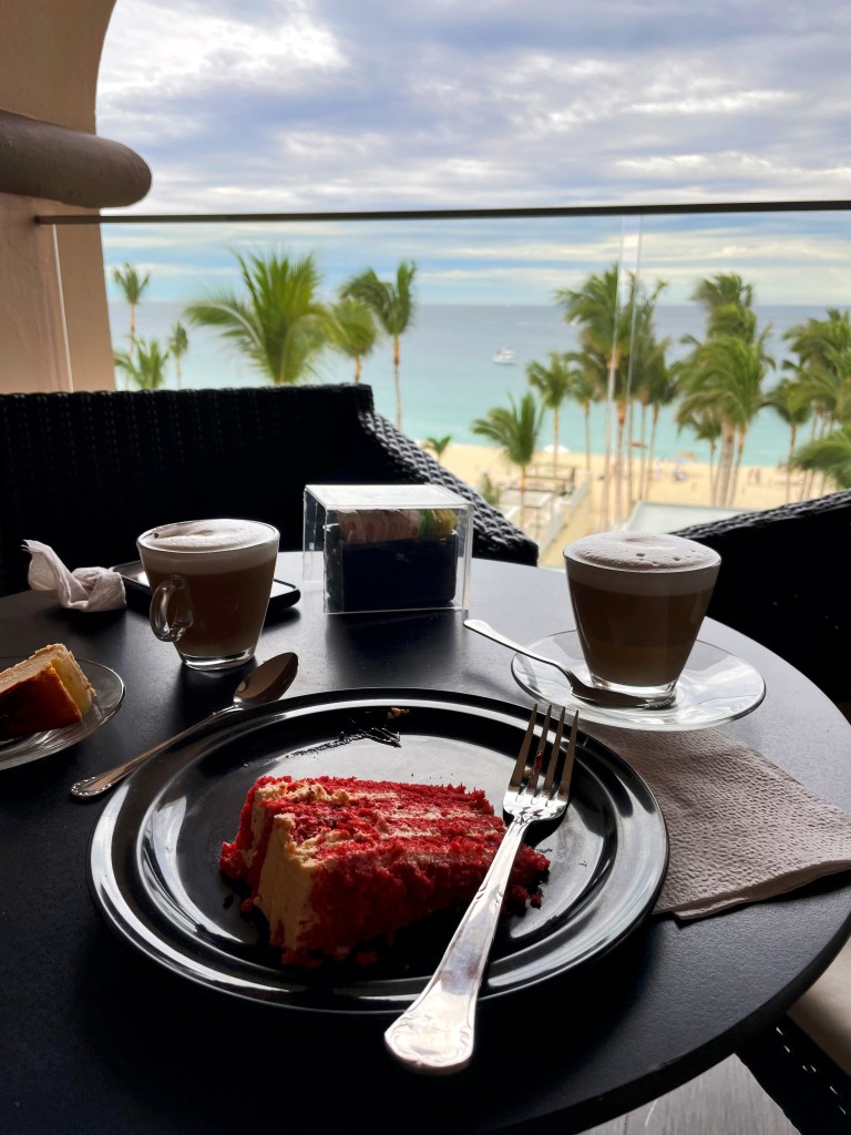
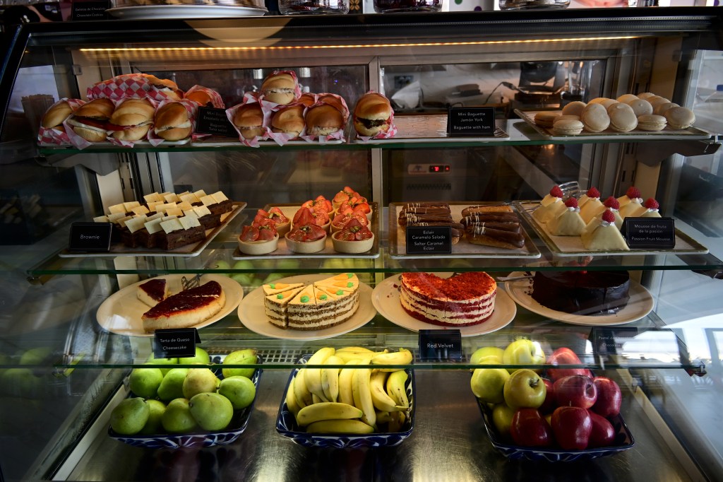
Having daily cappuccinos at the Cafe Capuchino. Not only were the drinks excellent but to have any of the pastries and fruit to go with it was added perfection. Shortly after the photo was taken, we were entertained by two whales frolicking in the ocean. What a cool experience.
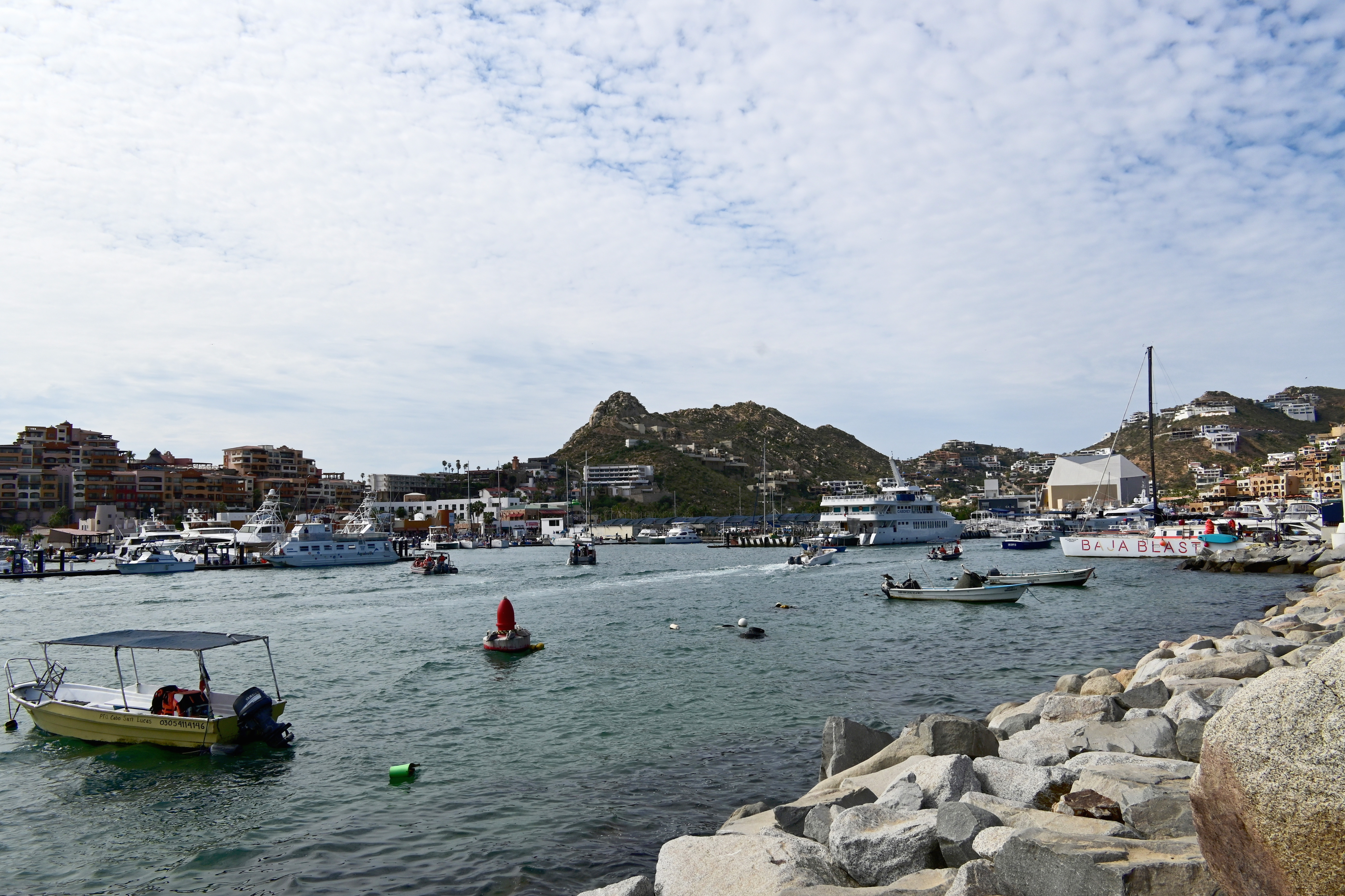
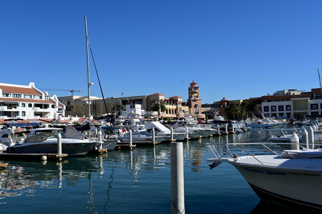
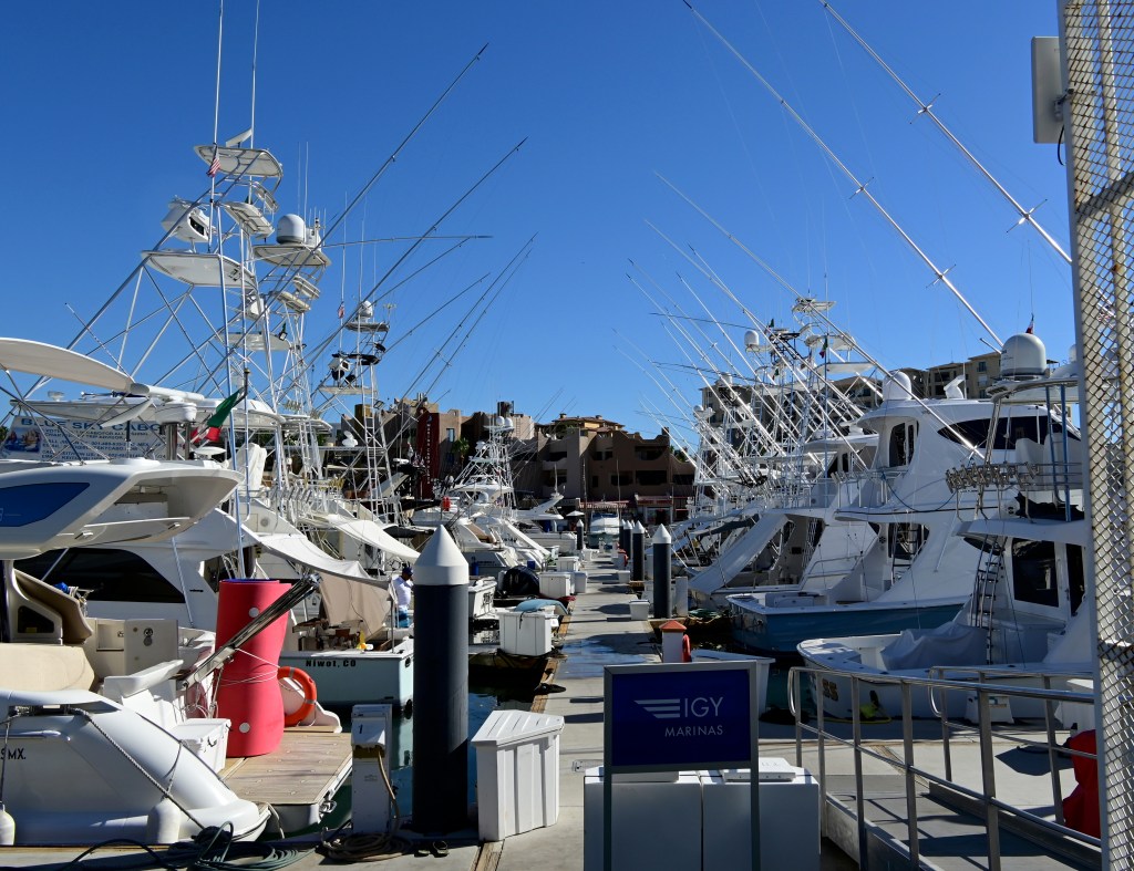
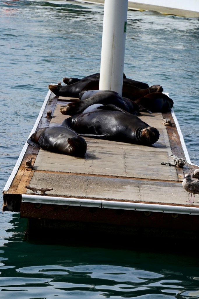
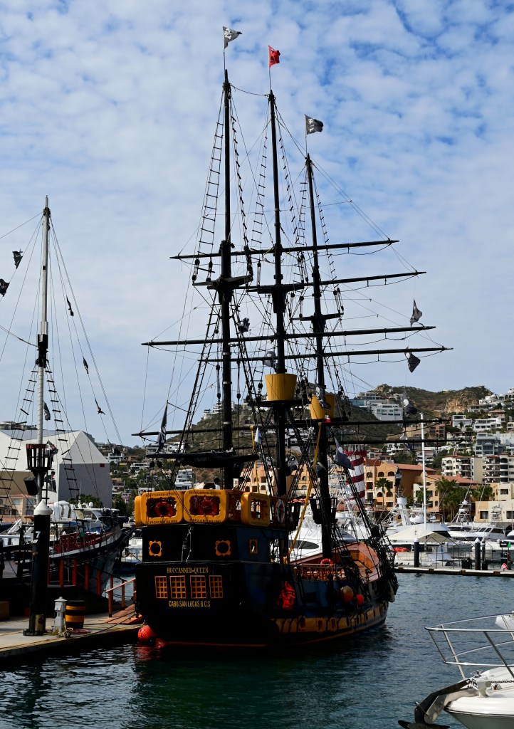
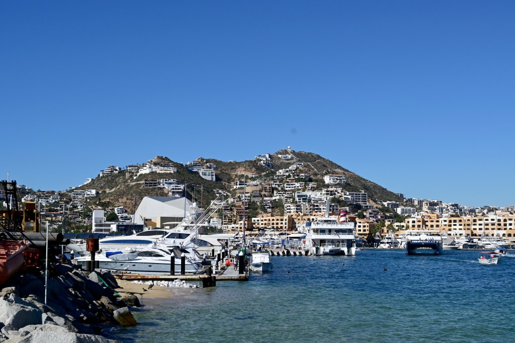
The Marina in Cabo San Lucas
Residences on the hill were not accessible. You’ll be stopped by one of the security people at the gate.
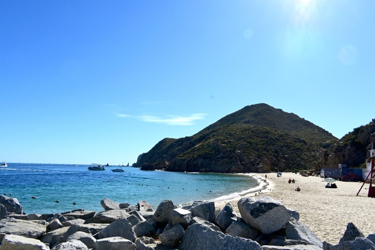
Playa Coral Negro, located just around the corner of the Marina
A wonderful beach with a swimmable waters.
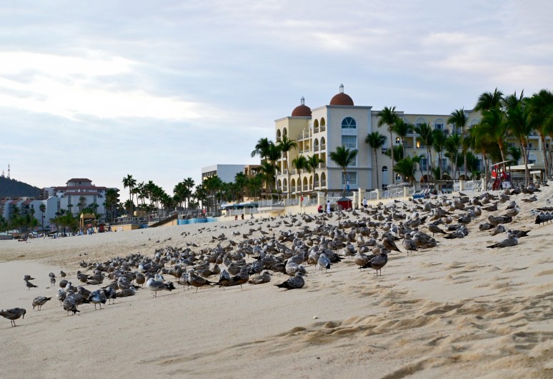
Seagulls settle on the beach. If they weren’t here, they hovered over you while you had a meal on any outdoor eatery.
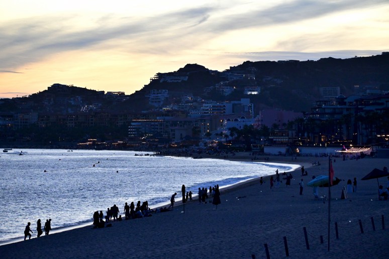
Sun is setting behind Mt. Solmar
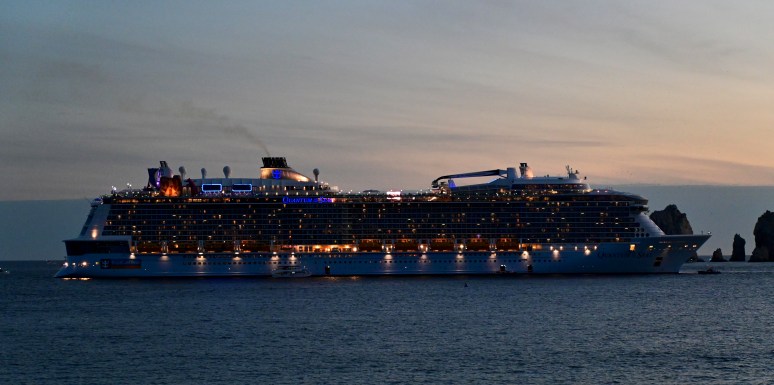
Everyday there are a number of cruise ships coming into Port and they would stay one or two days before departing to their next destination.
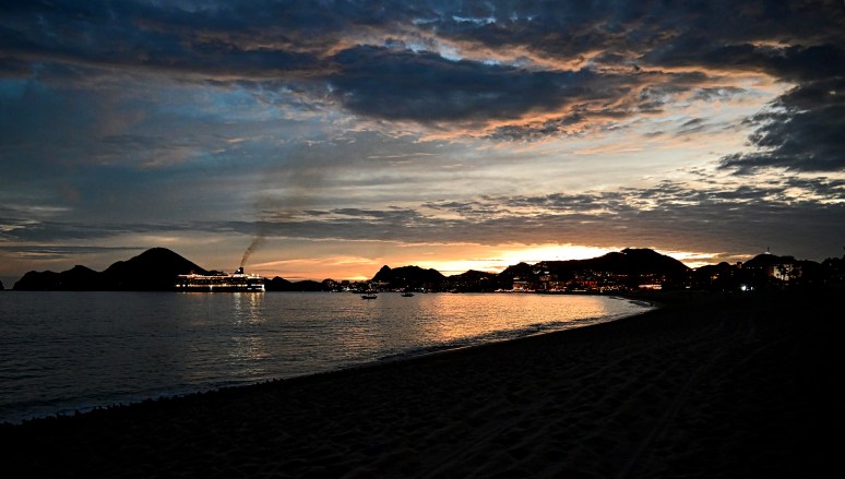
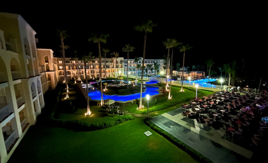
Sunset on the beach. Our hotel is located to my immediate right.
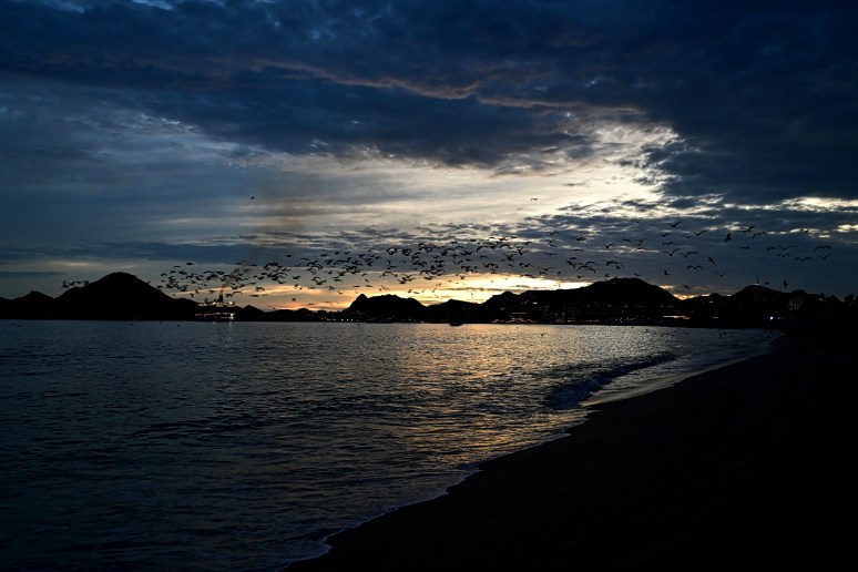
Something startled the seagulls.
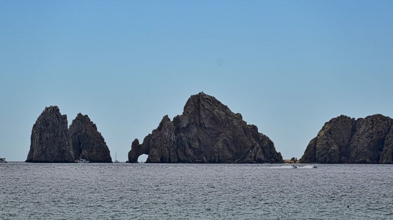
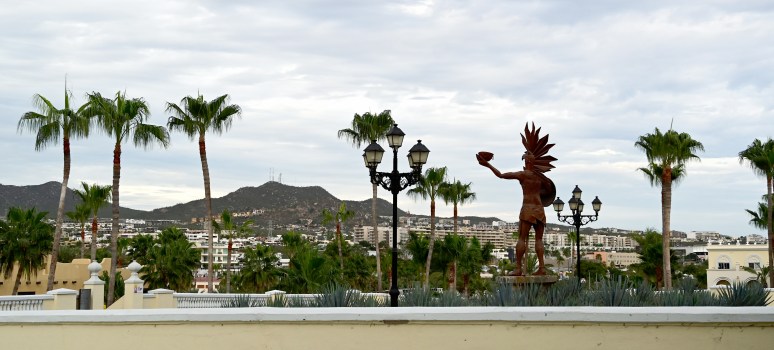
The “Arch” is considered Cabo San Lucas’s main tourist landmark.
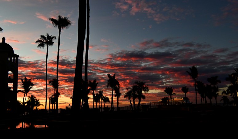
Sunrise view from our hotel room.
Saskatoon, SK Canada (14) – Suburban Parks
Most of my existence in Saskatoon, I lived 25 years in an older neighborhood and 17 years smack dab downtown.
The thought of living outside of these areas and being labeled a suburbanite made me shudder.
After selling our downtown condo, we ended up renting a house in the farthest suburb you can find. Not only is the Rosewood neighborhood on the farthest southeast edge of the city but our house is located on the farthest corner.
When the weather turned from a cold spring to a warm spring, I started to venture out with 10km walks. I was taken aback by the number of parks located within 5kms of my home. I have come to appreciate suburban living and what it has to offer.
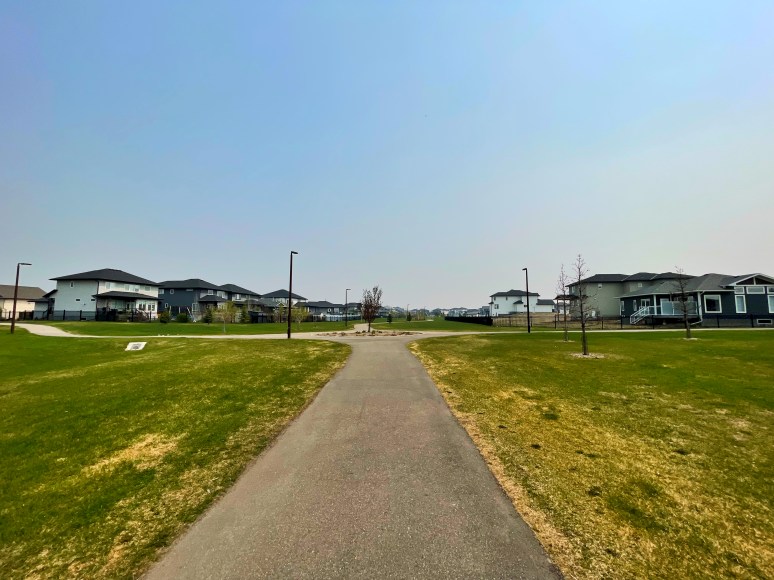
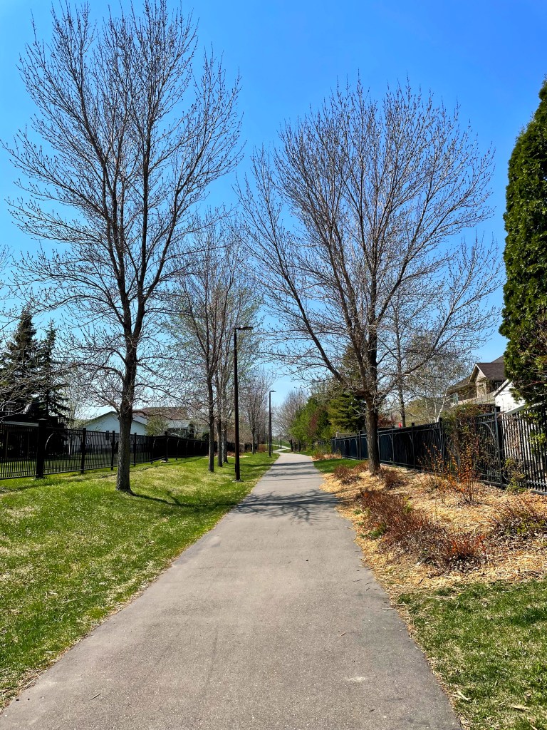
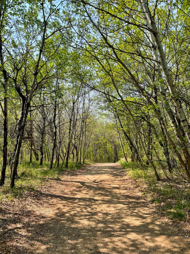
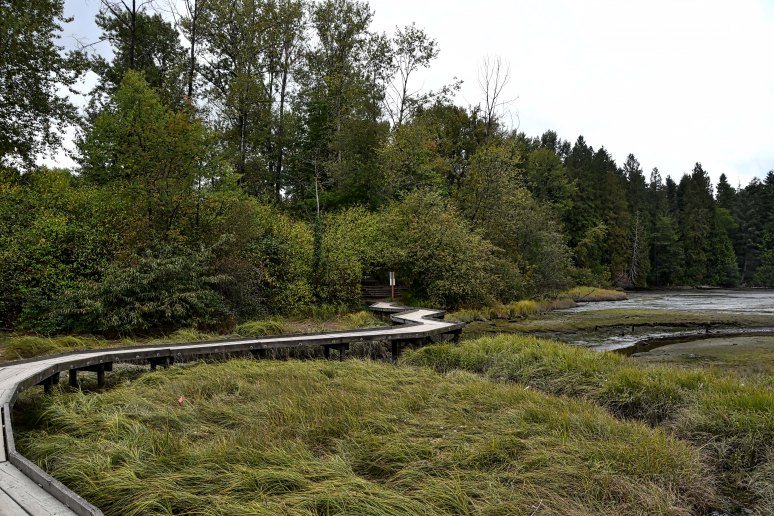
This walking path in Swick Park stretches from my residence to Hyde Park Wetlands
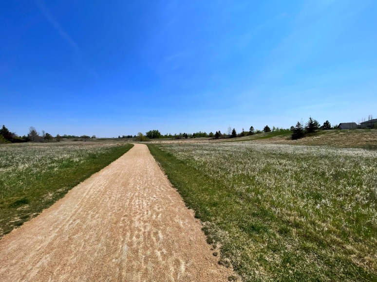
A groomed walking path through Hyde Park Wetlands
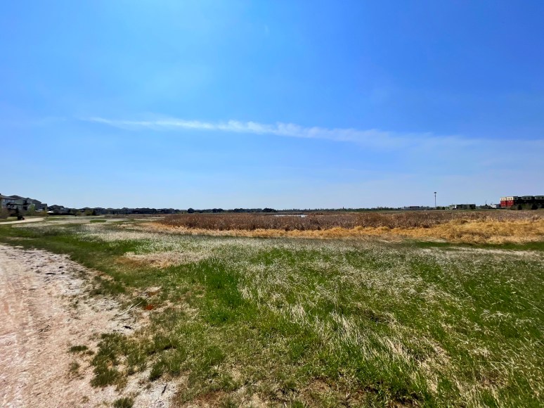
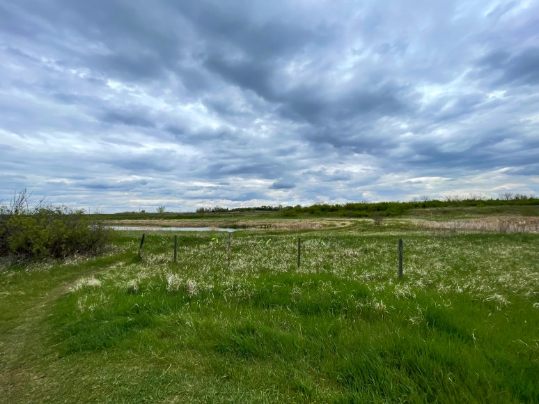
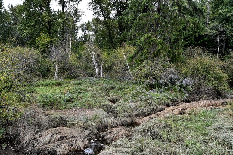
Hyde Park Wetlands is a naturalized area. In the warm months, it is home to a large variety of birds, ducks, foxes, coyotes and frogs
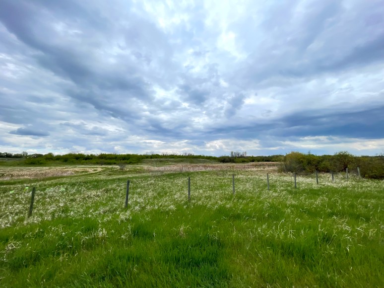
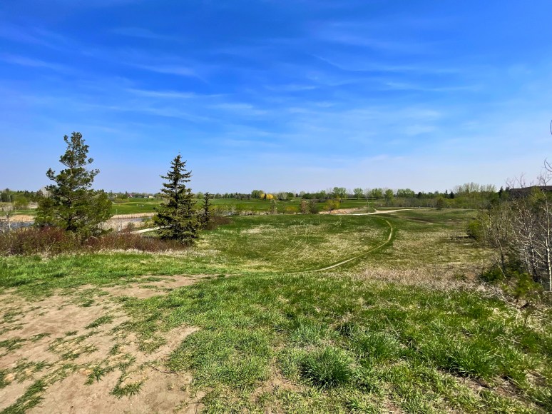
Across the road north from Hyde Park is Donna Birkmaier Park
Donna Birkmaier Park is another naturalized park. It has become our favourite.
This pathway stretches between Donna Birkmaier Park to Briarwood Park
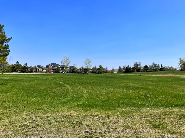
Briarwood Park is a large groomed park where visitors can play many field sporting activities
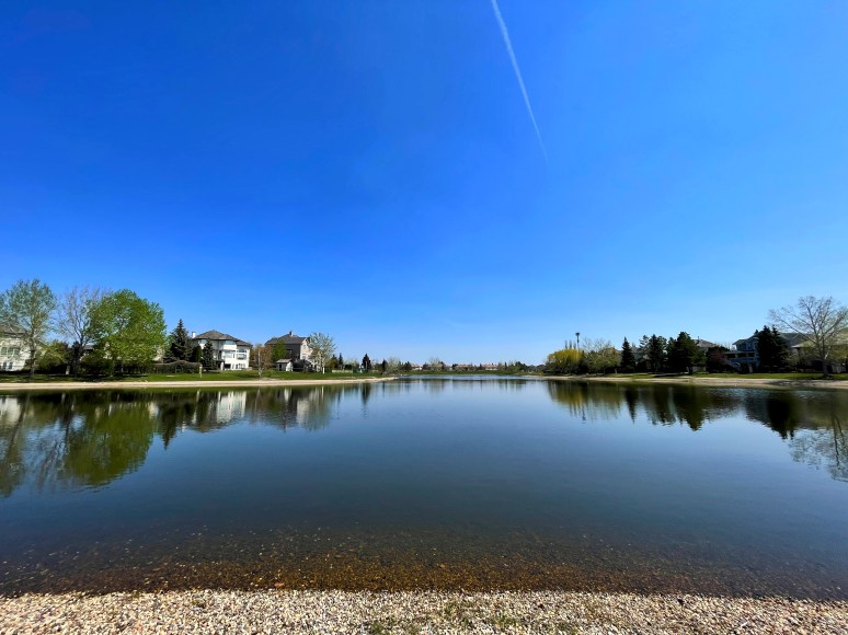
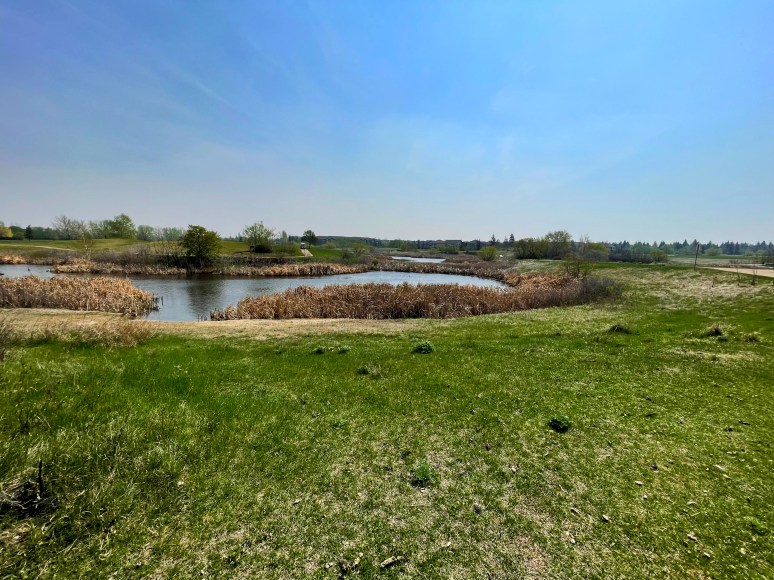
Briarwood Pond allows canoeing and paddle boating during the summer

If you head northwest past Hyde Park, you will come across Trounce Pond.
A couple blocks past Trounce Pond, you enter Heritage Green, a deeply forested area
Past Heritage Green you’ll find Lakewood Park
Lakewood is another naturalized park where many ducks and geese thrive.
New Westminster BC – Blooms Along The Waterfront Esplanade and Park
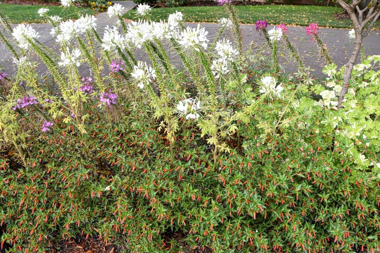
After our visit to Port Moody, we stopped in New Westminster for a coffee & gelato with a stroll along the Waterfront Esplanade. This post mostly emphasizes the beautiful flowers we admired during this relaxing walk.
Start of our walk outside the Galli Gelato Caffe

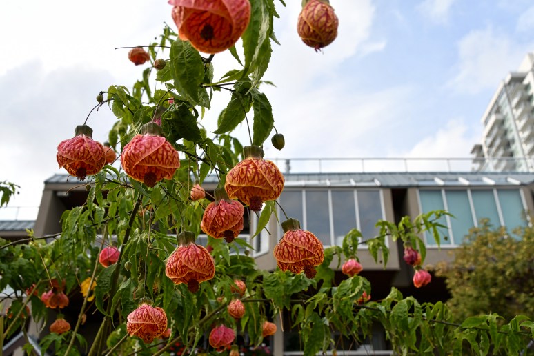
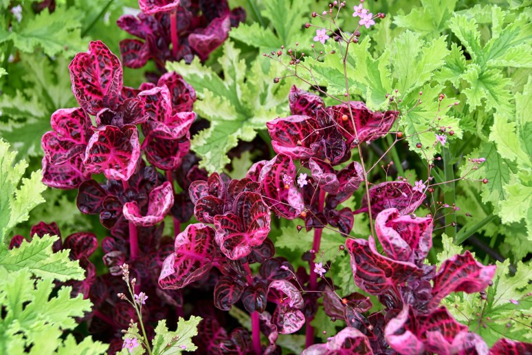
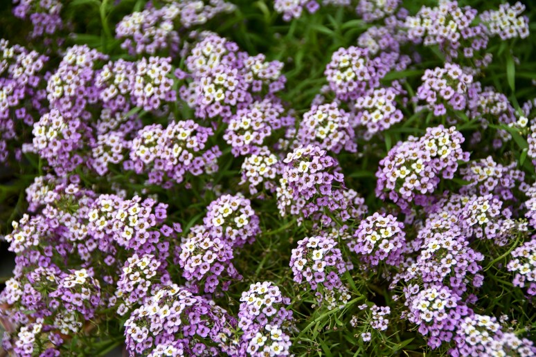
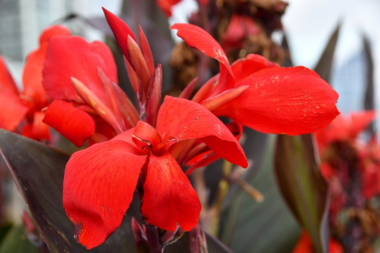
A wonderful walk is highlighted by the gorgeous flowers


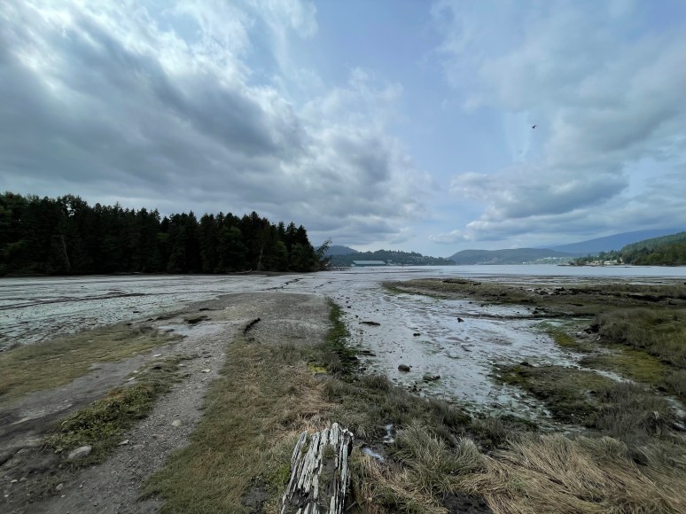
Port Moody BC – Rocky Point Park & Shoreline Trail
During a short 4 day trip to Vancouver, we spent one of those days exploring the outskirts of Metro Vancouver. The Millenium Line took us to Port Moody where we spent a few hours walking through Rocky Point Park and the Shoreline Trail.
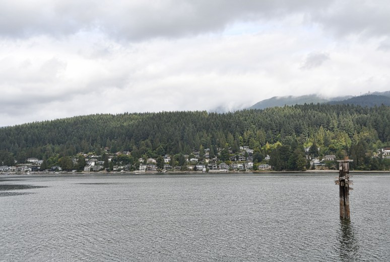
Across the Burrard Inlet is the Pleasantside neighborhood

The boat launch
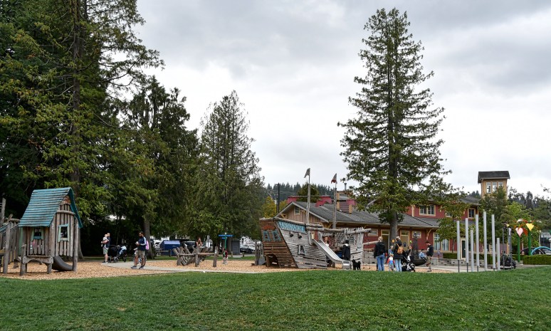
Rocky Point Park Playground
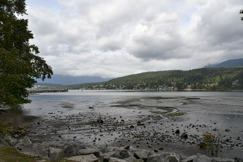
The start of our Shoreline Trail walk around the Burrard Inlet. The end of the long pier located to the left of this picture is where I took the the shot of Pleasantside and the boat launch.


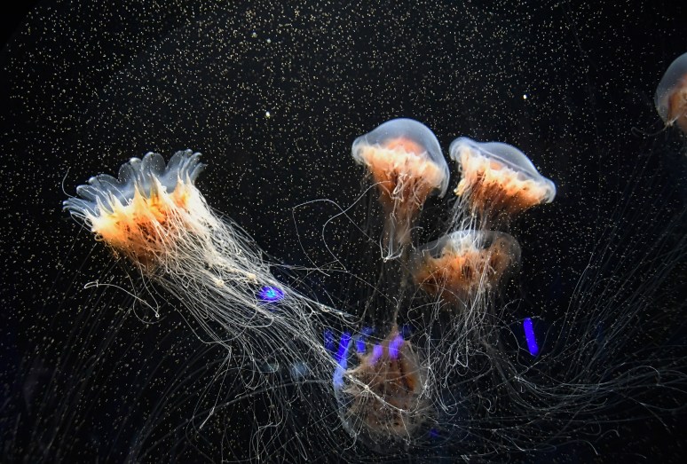
Boston MA – New England Aquarium
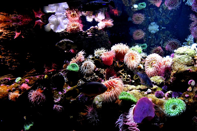
A visit to the New England Aquarium in Boston proved worthwhile. Four levels that runs circular to a 9,000 gallon tank that includes a man-made coral reef. Starting at the bottom with the Penguins we wind our way to the top. Before our departure, we make sure to visit the Stingrays where my 9-year old grandson gets the opportunity to touch the stingrays.
Unfortunately the large crowds eliminated the ability to take a lot of photos. Here’s enough to give you a taste of what to expect.

Atlantic Harbour Seal
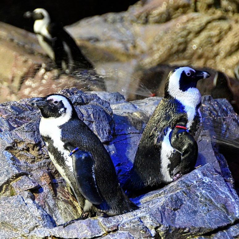
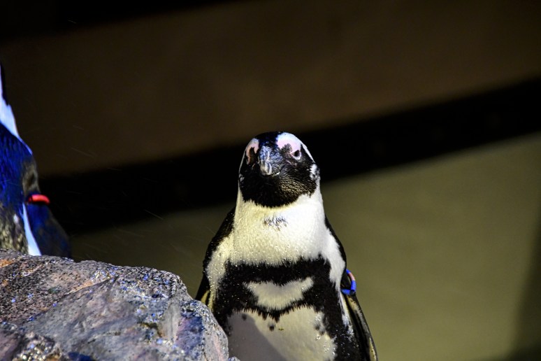
The Penguin Exhibit is the first animal to greet you when you enter the Aquarium. The different coloured bands indicates where in the world they existed. They come from all over the world and can co-exist. Humans can certainly learn something from this.
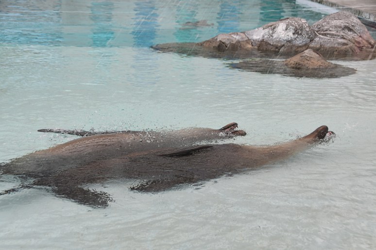
Sea Lions performing a back float
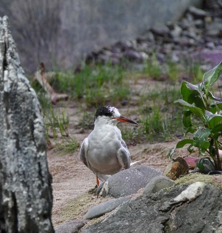
This one of 5 shorebirds are rescues that received rehab care and cannot survive in the wild.
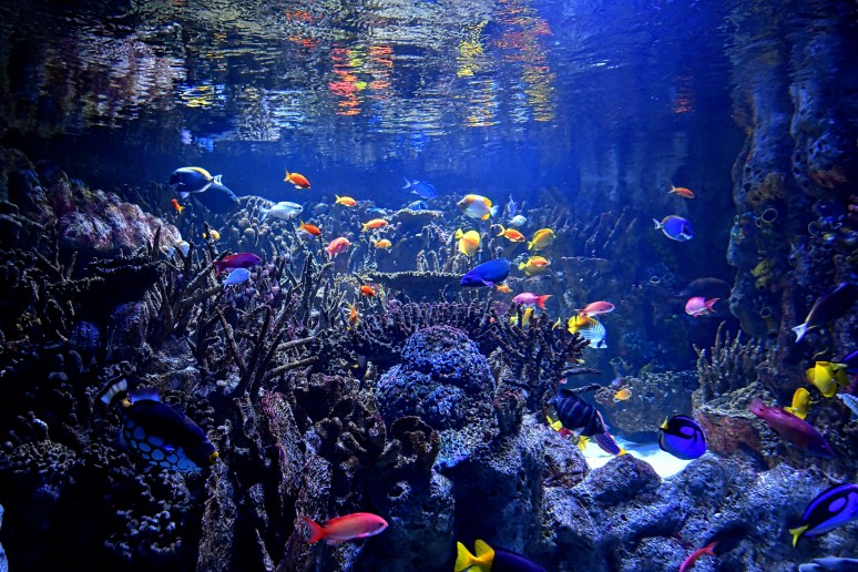
The bottom of a 9,000 gallon floor-to-ceiling, four story giant ocean tank
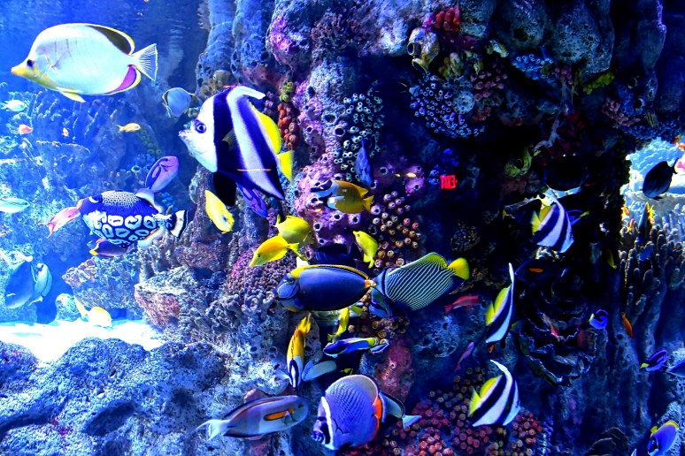

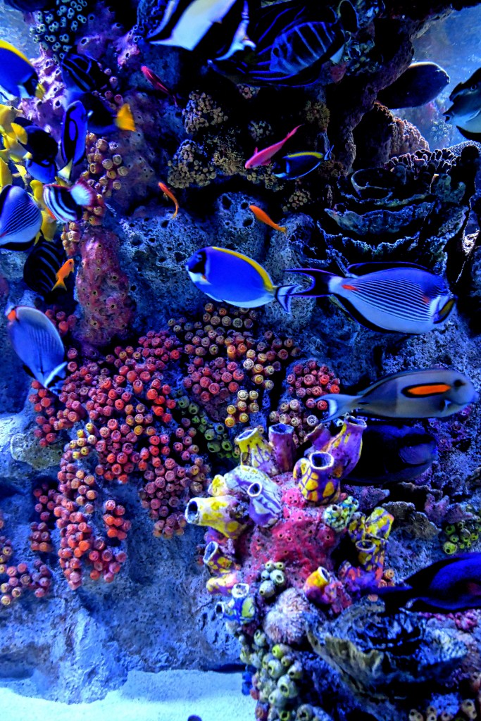
Such beautiful colours
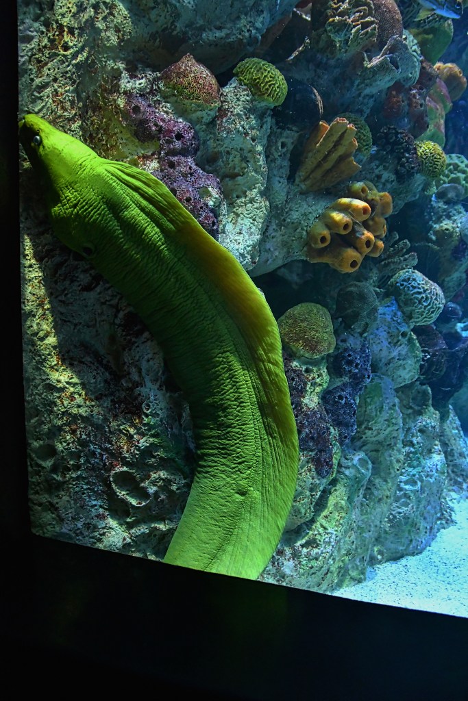
Green Moray Eel
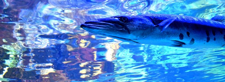

Top of the tank on Level 4
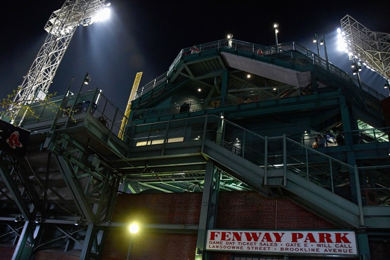
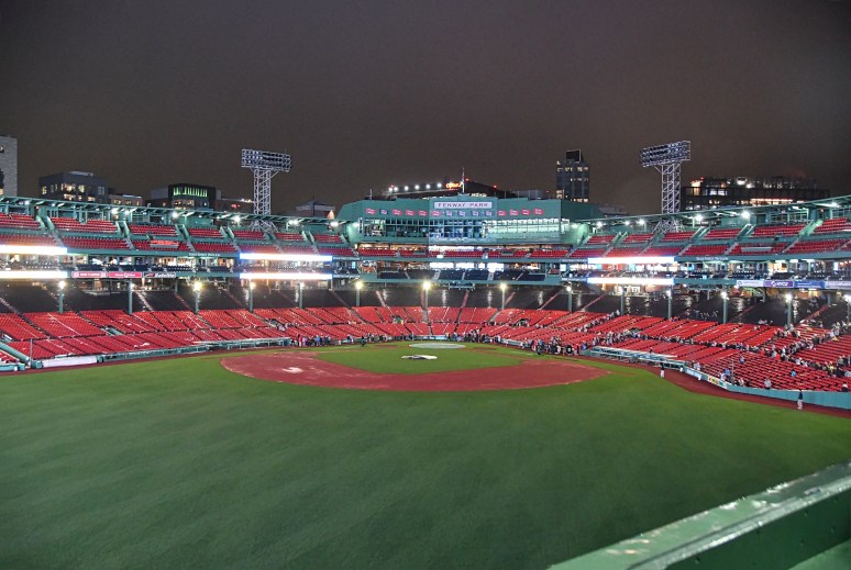
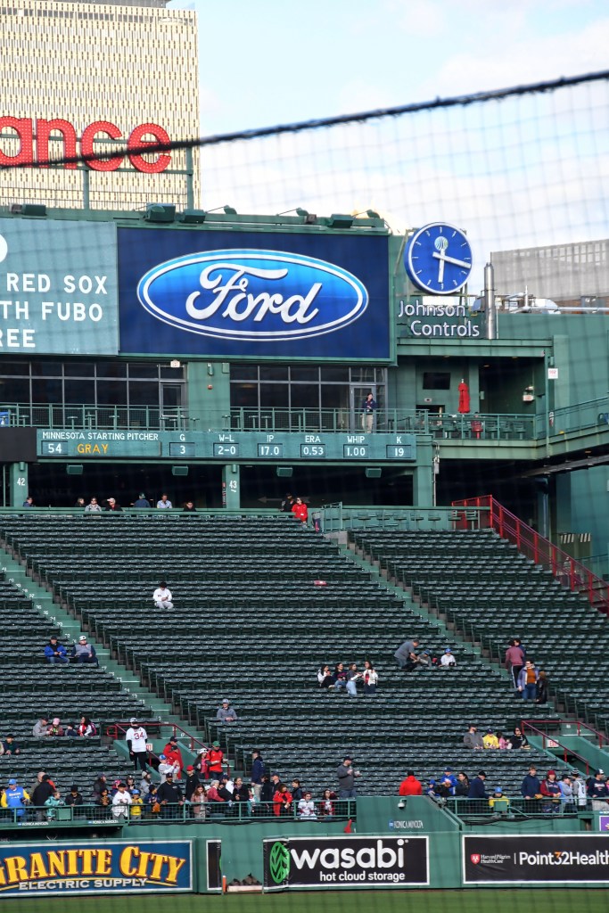
Boston MA – Fenway Park
Fenway Park is the oldest ballpark in Major League Baseball. Located near Kenmore Square, it is home of the Boston Red Sox. Because our hotel was located around the corner of the park, we passed this place on a number of occasions as we head out for supper or just going for a walk.
We visited the stadium twice during our week stay in Boston. First visit was a “Samuel Adams Brewery” hosted post marathon party and the second visit was a game between the Red Sox and Twins.
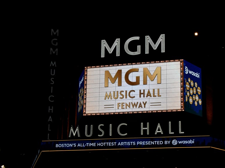
First series of photos depicts our evening walk around the park after dinner at a nearby restaurant

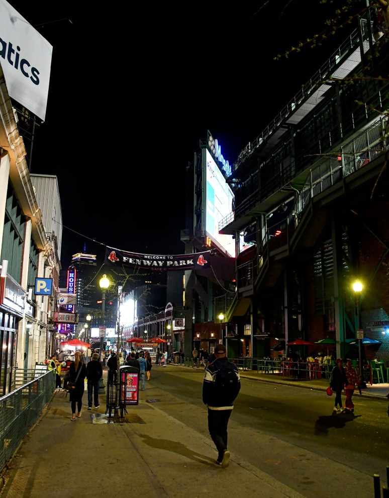
Lansdowne Street. A number of individuals wait around this area hoping for a home run hit that may go over the Green Monster (to the right)

The MGM Music Hall is located right next door on Lansdowne. The Prudential Tower looms in the distance
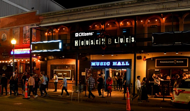
House of Blues is located across the street of the Music Hall

Second series of photos were taken at the Samuel Adams Brewery Post-Marathon Party
From the Green Monster. The long line-up was quick to Field Level, behind home plate. On the right edge of the photo, four World Series Cups were displayed. A staff member would take a photo of you with the cups with your phone.

Our seating area for next day’s game was a few rows behind the visitor dugout beside third base.

The World Series Cups
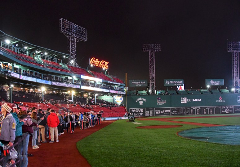
The line-up to home base. It was fast moving but once you got down, there was plenty of space and we got to take our time hanging out

Field Level. It was so cool!
The third series of photos are from Game Day with the Twins
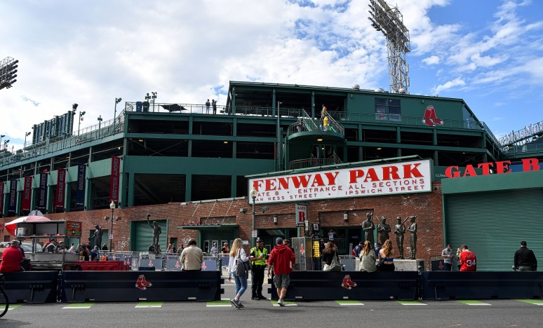
Our entrance to the park


This section is located behind Right Field. You can see one red painted seat about nine rows down. This is the location of the farthest hit ball (502 feet) ever made in Fenway. It was done by Ted Williams on June 10, 1946. No one has broken that record.
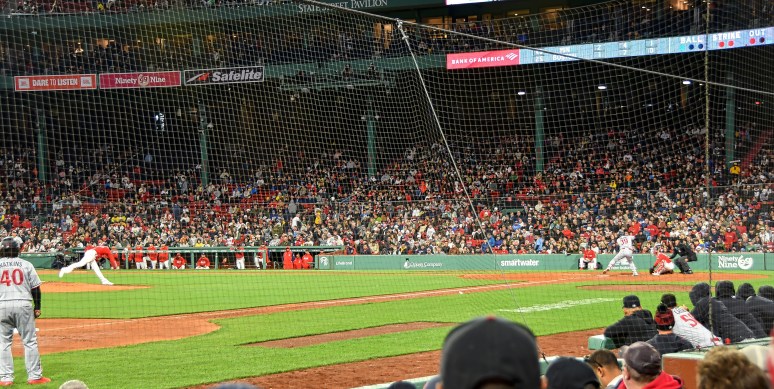
I’m always in awe of how far the pitcher throws the ball and with accuracy.
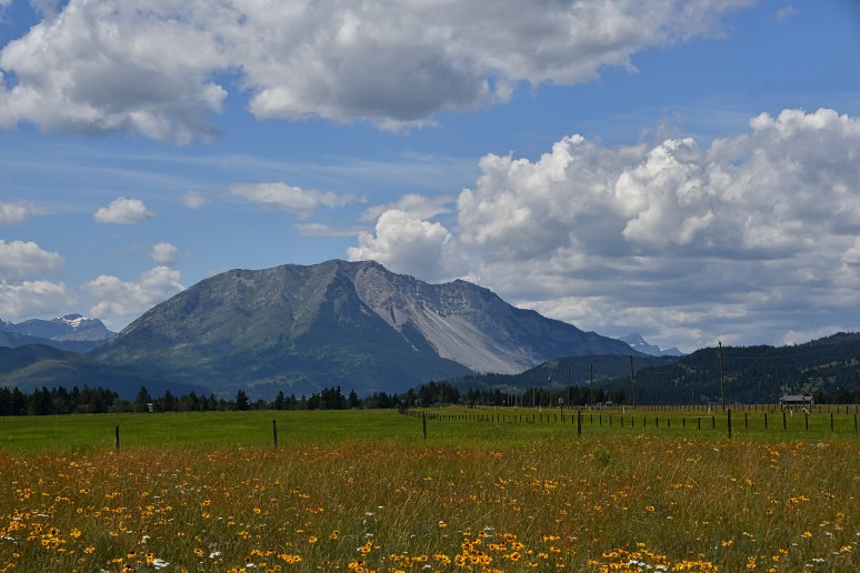
Alberta, Canada – Frank Slide
It was always a somber moment during the few times I passed through Frank Slide The knowledge that there were human lives buried under approximately 150 feet of rock was always a time of serious thought.
On Highway 3, the town of Frank is located in the southwest edge of Alberta right beside Turtle Mountain. On April 29, 1903 at 4:20 AM, approximately 119 million metric tonnes of rock slid down and covered 1 kilometre wide space filling it 425 metres high and 150 metres thick. and all within 90 seconds.
It wasn’t until 2022 that we made the point of stopping to take a closer look. The photos (except the first one) are taken from the .9-mile trail that starts and ends at the parking lot.
A view of Frank Slide from Lee Lake

From the Frank Slide Trail

3 square kilometres at the valley bottom
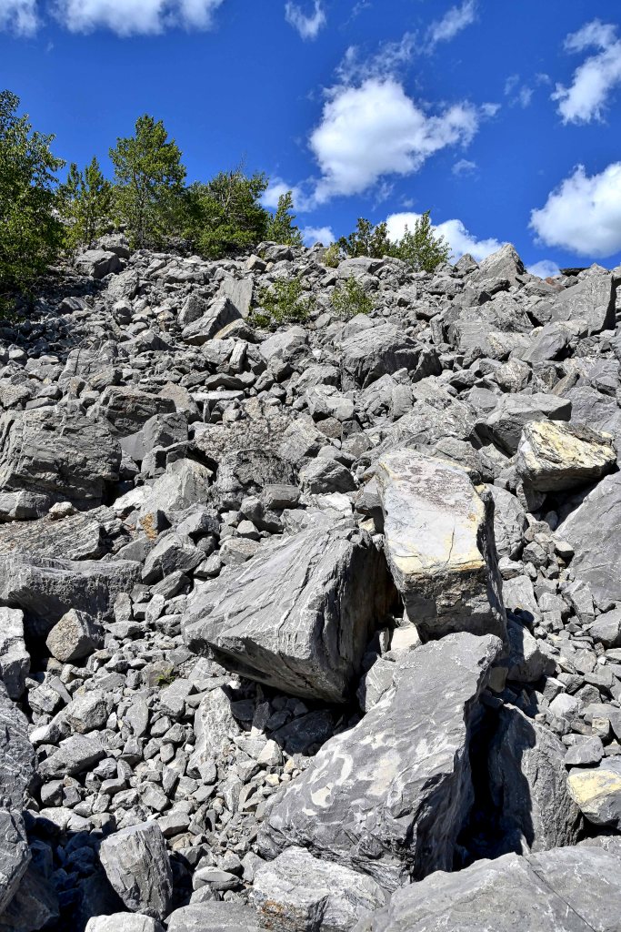
An average of 14 metres deep with some spots as deep as 45 metres
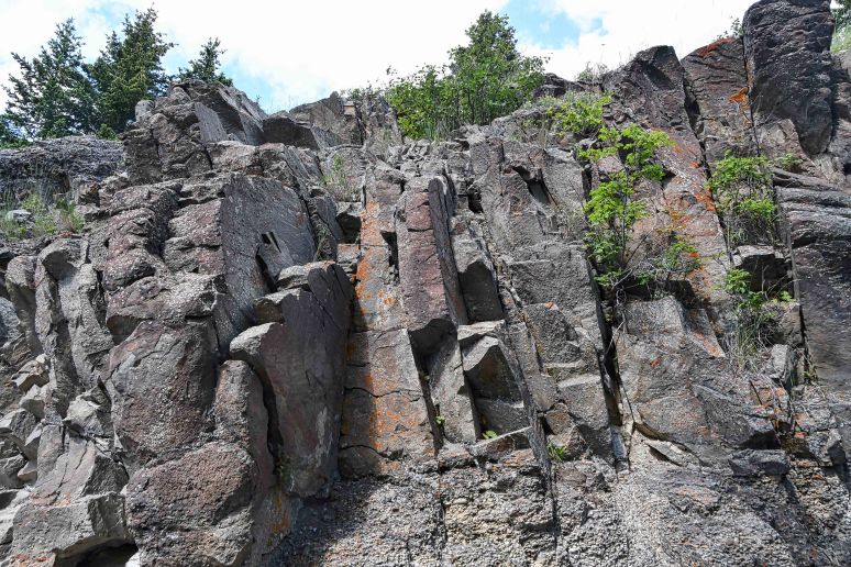
Horizontal layers of sedimentary rock folds during the mountain building process and becomes vertical to create instabillity
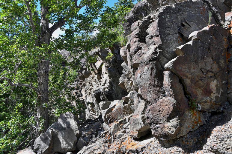
Greenery that didn’t get destroyed

Part of the Frank Slide trail gets shaded
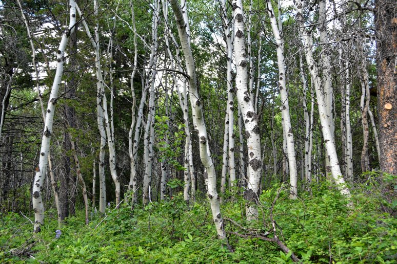
White Birch

Natural made steps helps with the uphill climb
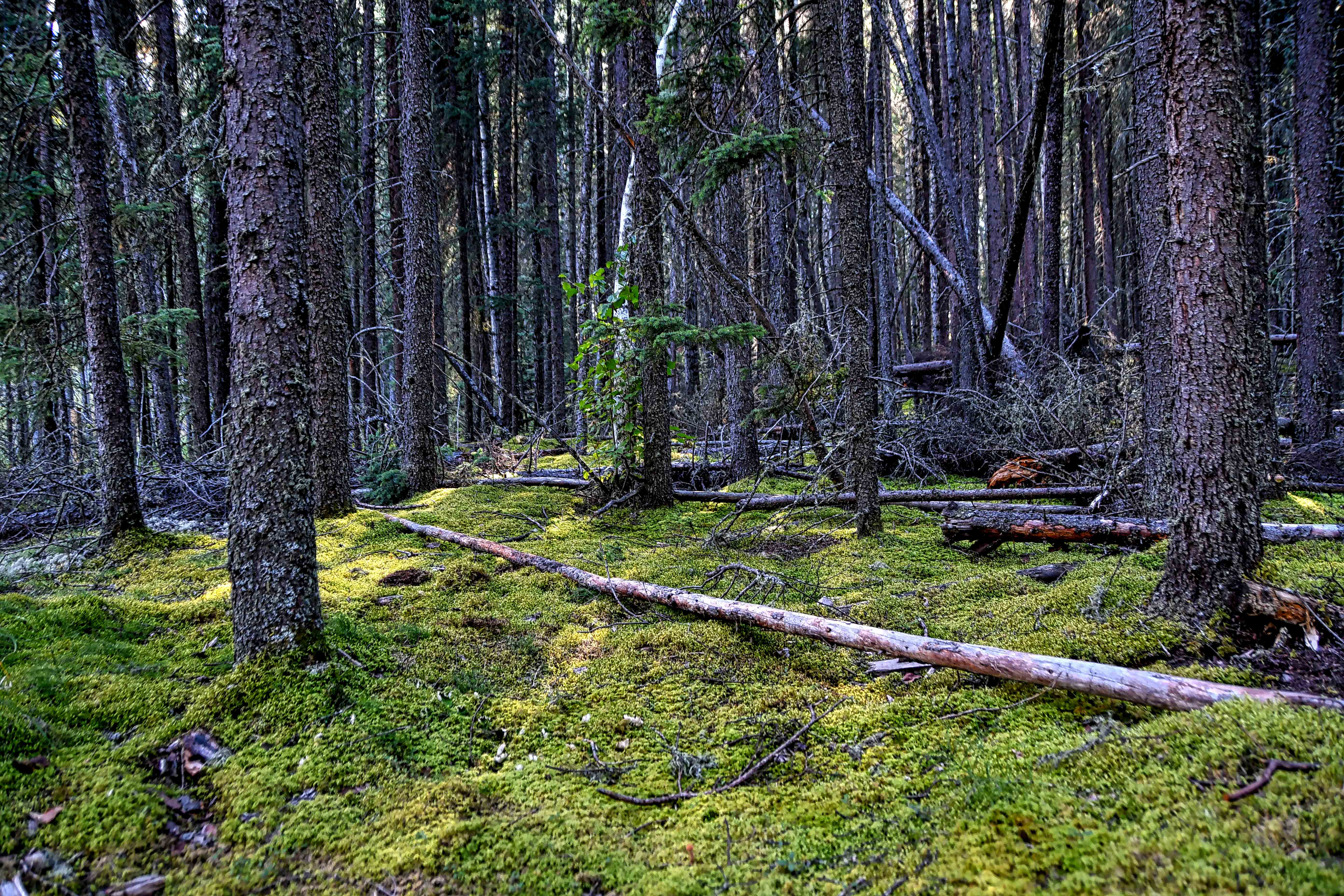
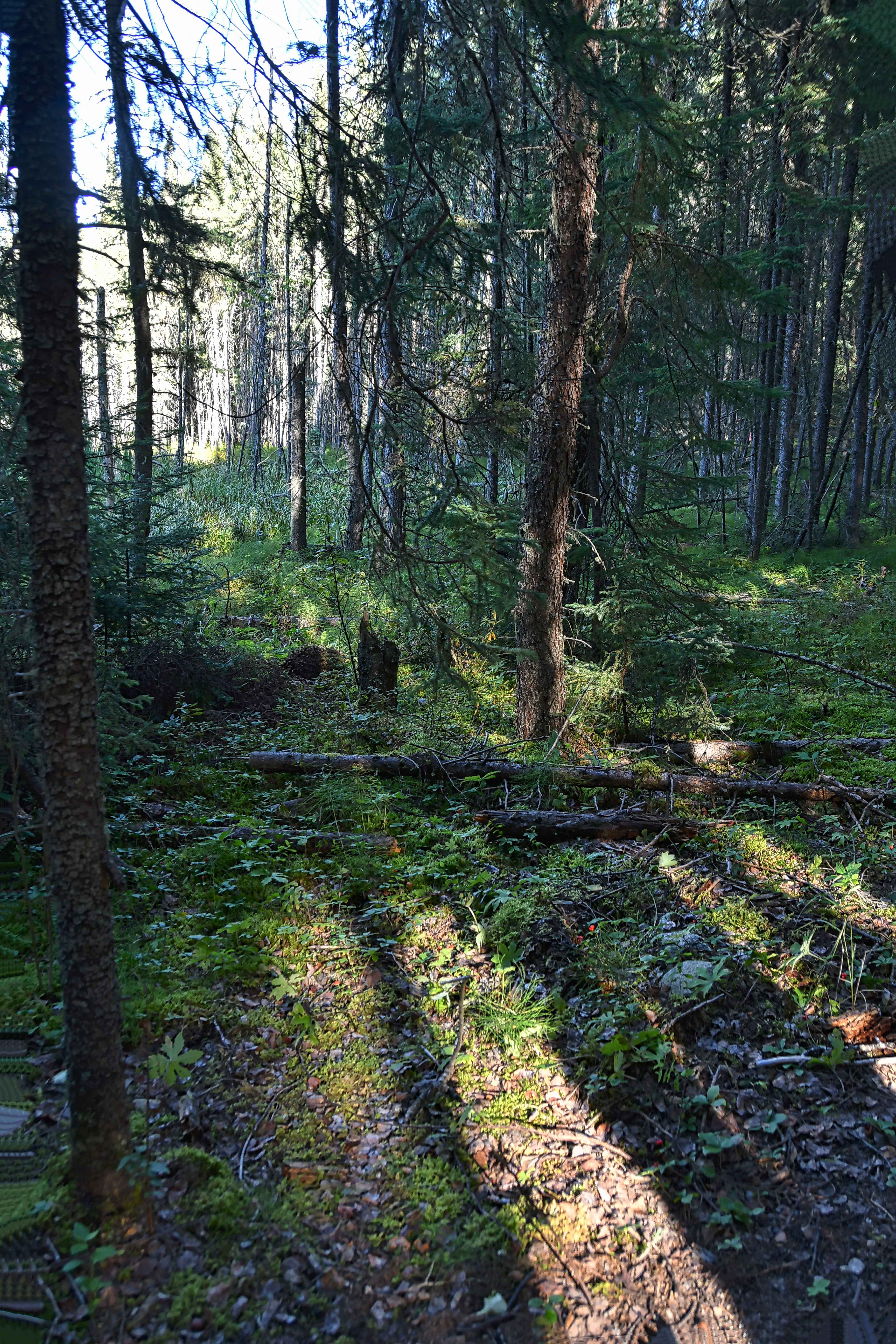
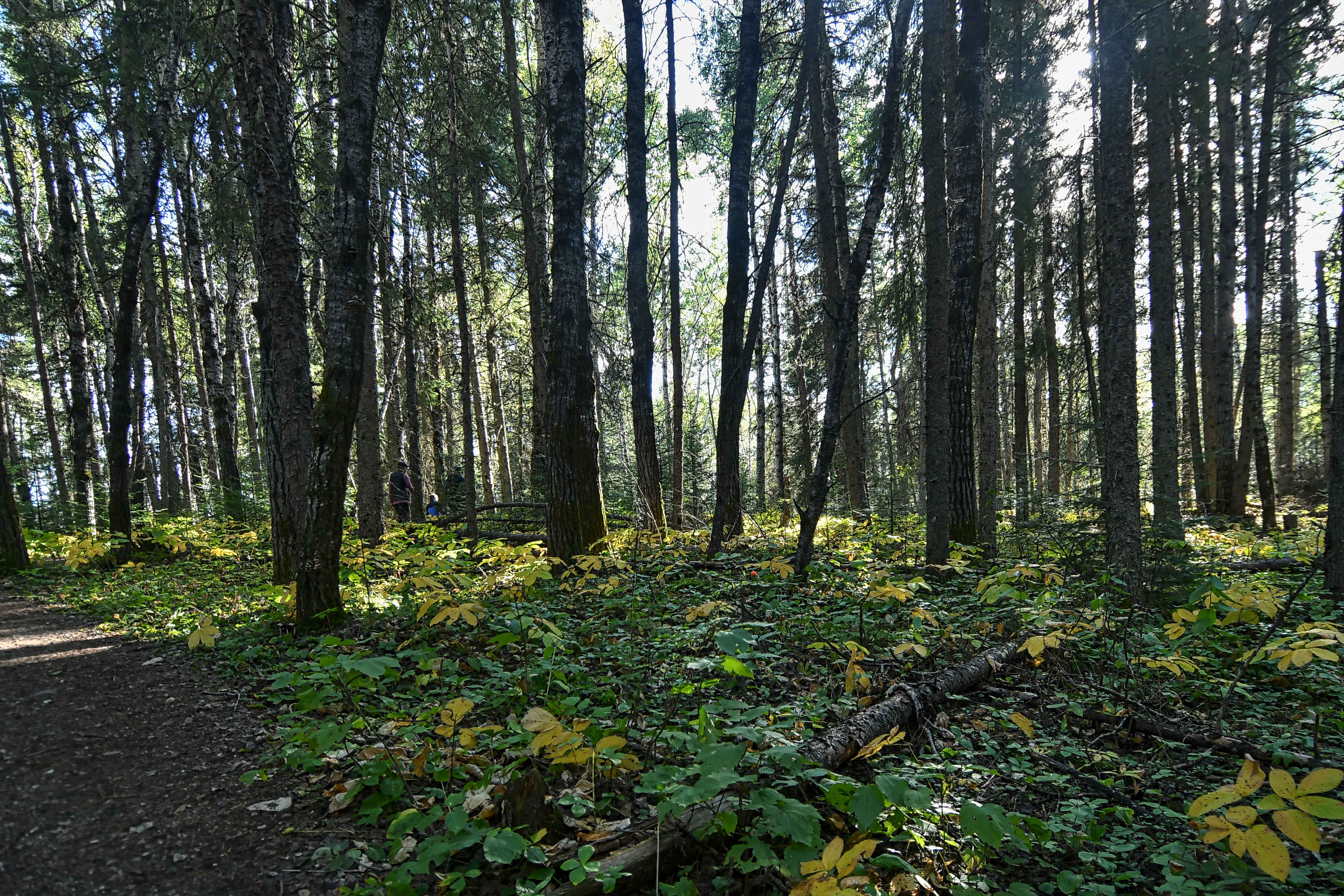
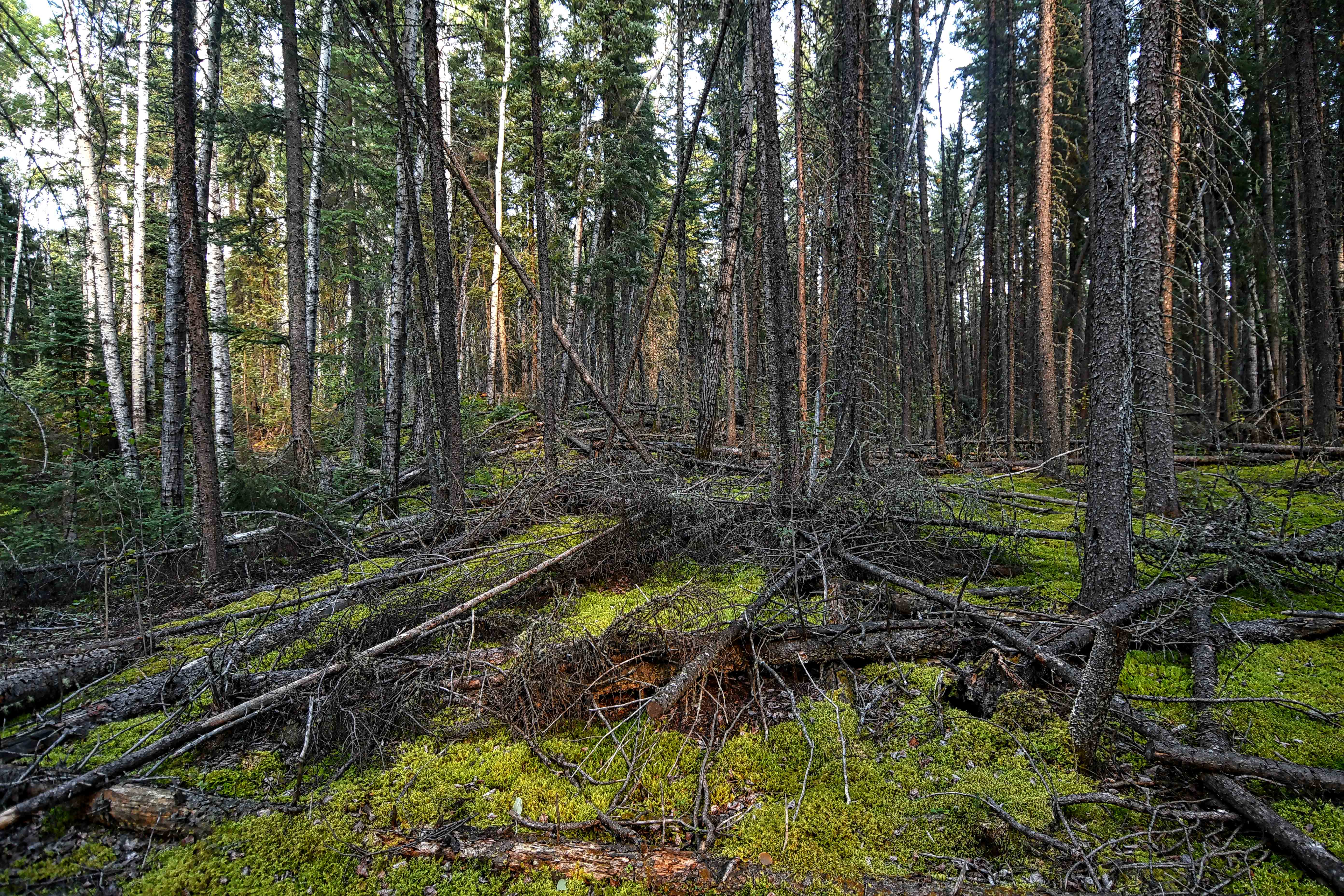
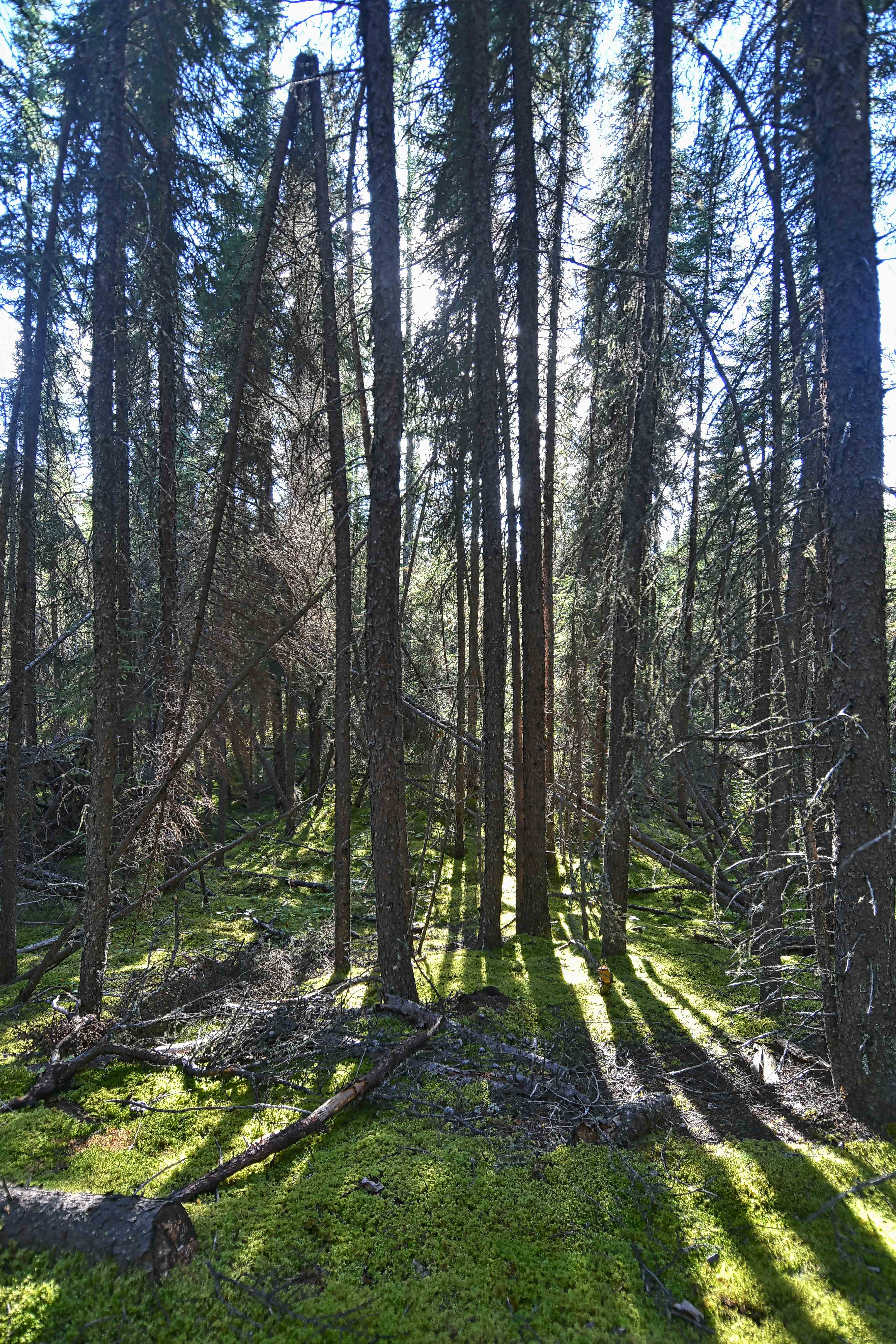
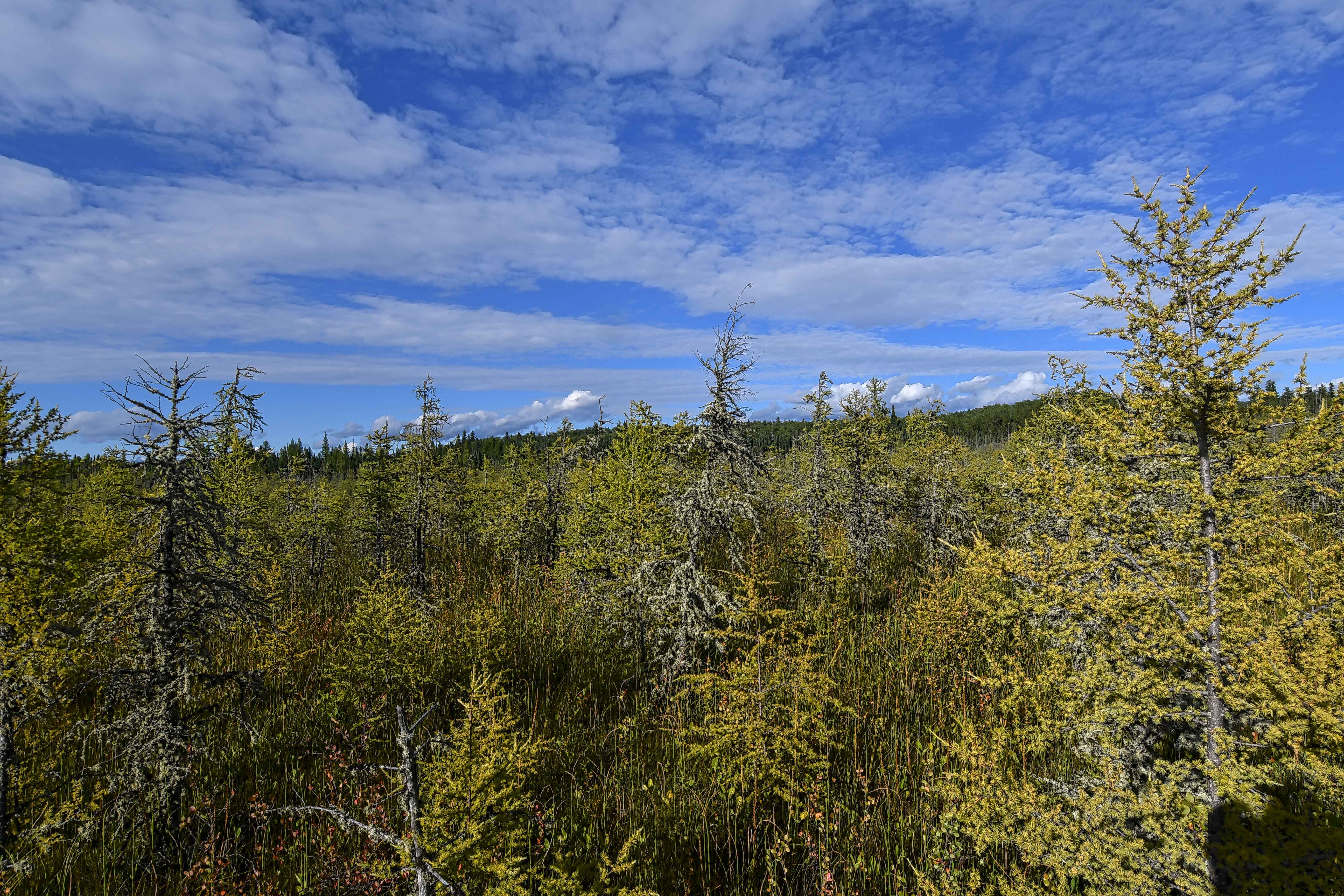
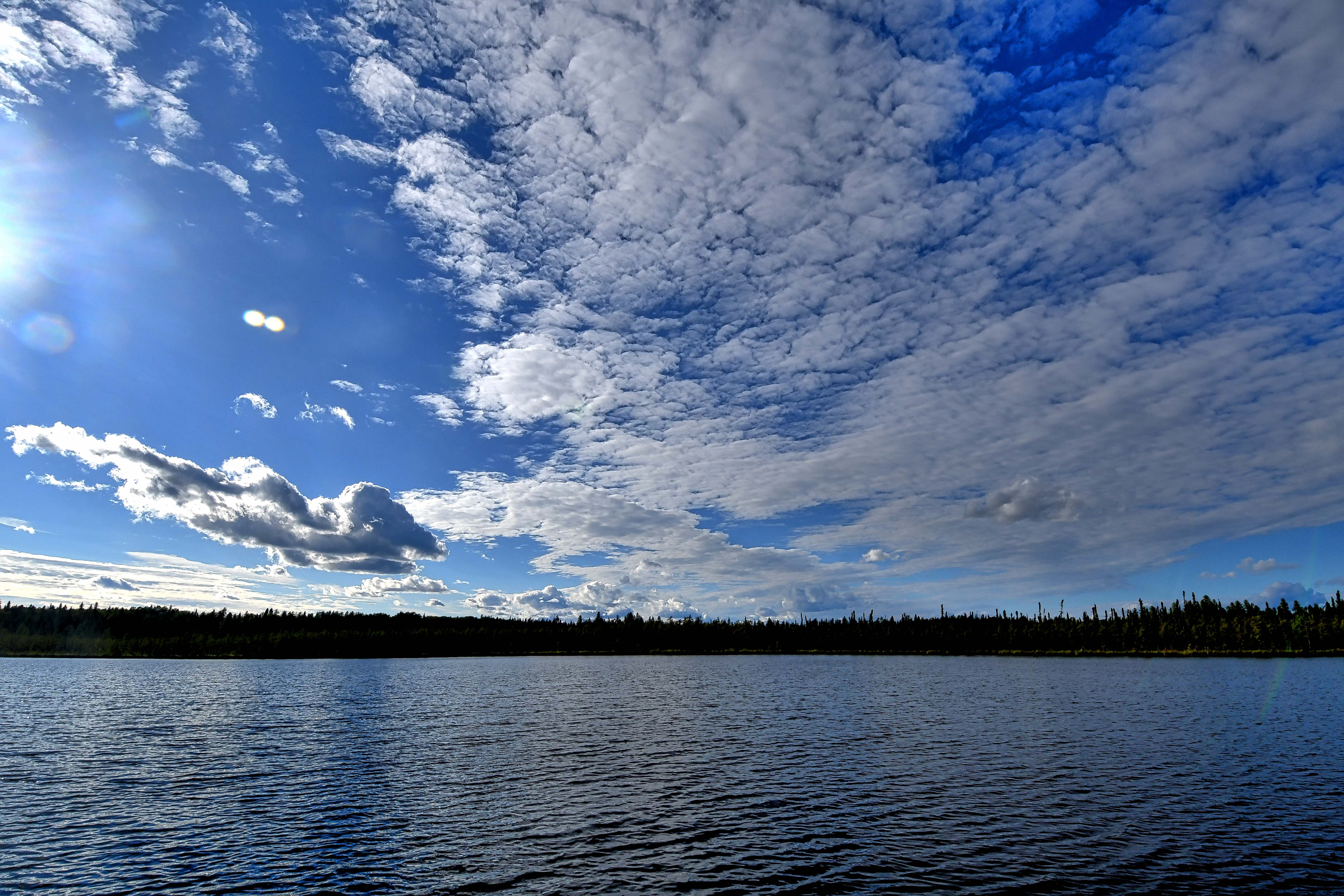
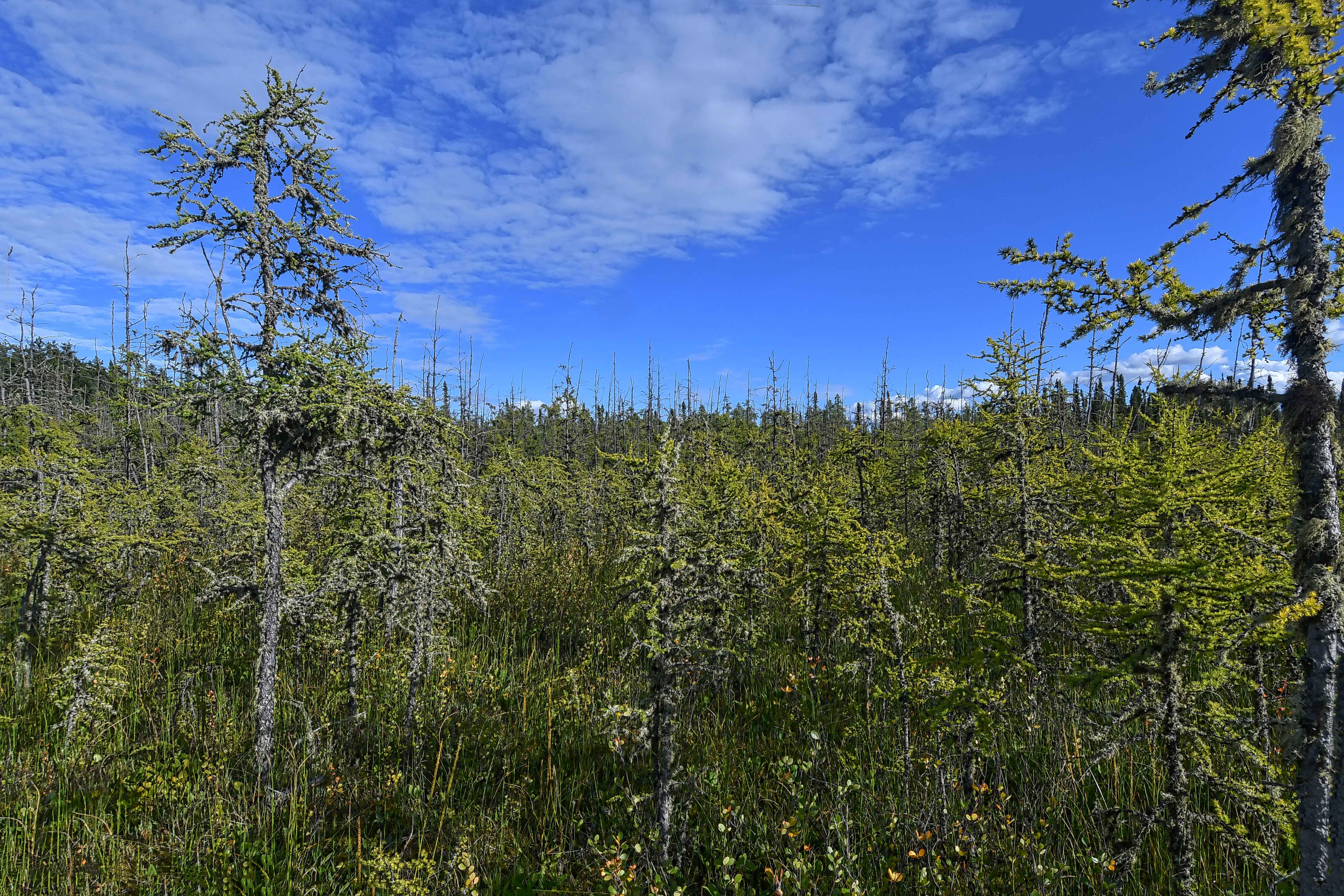
Saskatchewan Canada (10) – Prince Albert National Park – Boundary Bog Trail
A day trip to Prince Albert National Park included the final moments with a 2 km loop walk at Boundary Bog. A soft carpet of greenery under a boreal forest. The gorgeous surroundings was enhanced by the perfect weather.
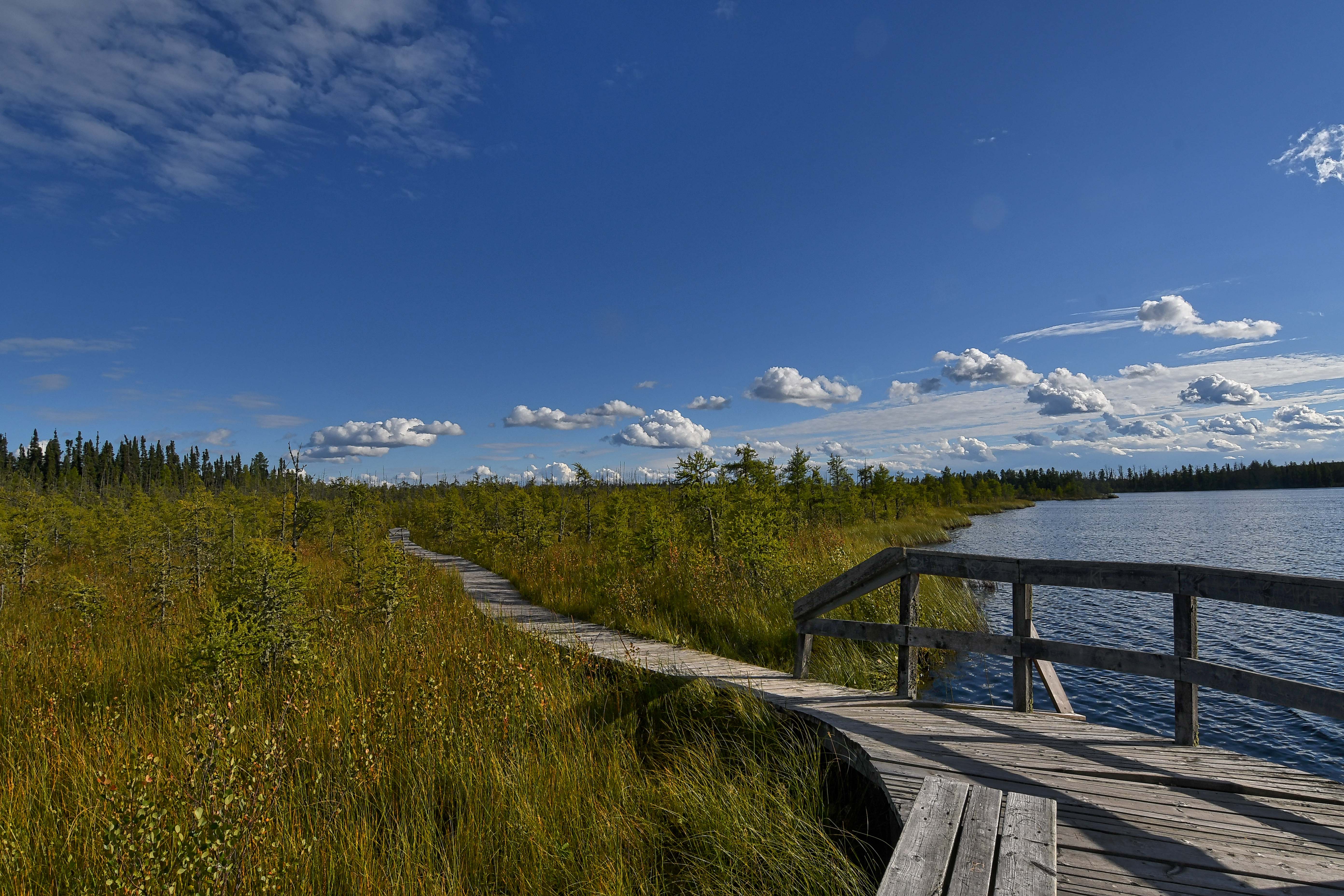
Reaching the lake at the end of the loop
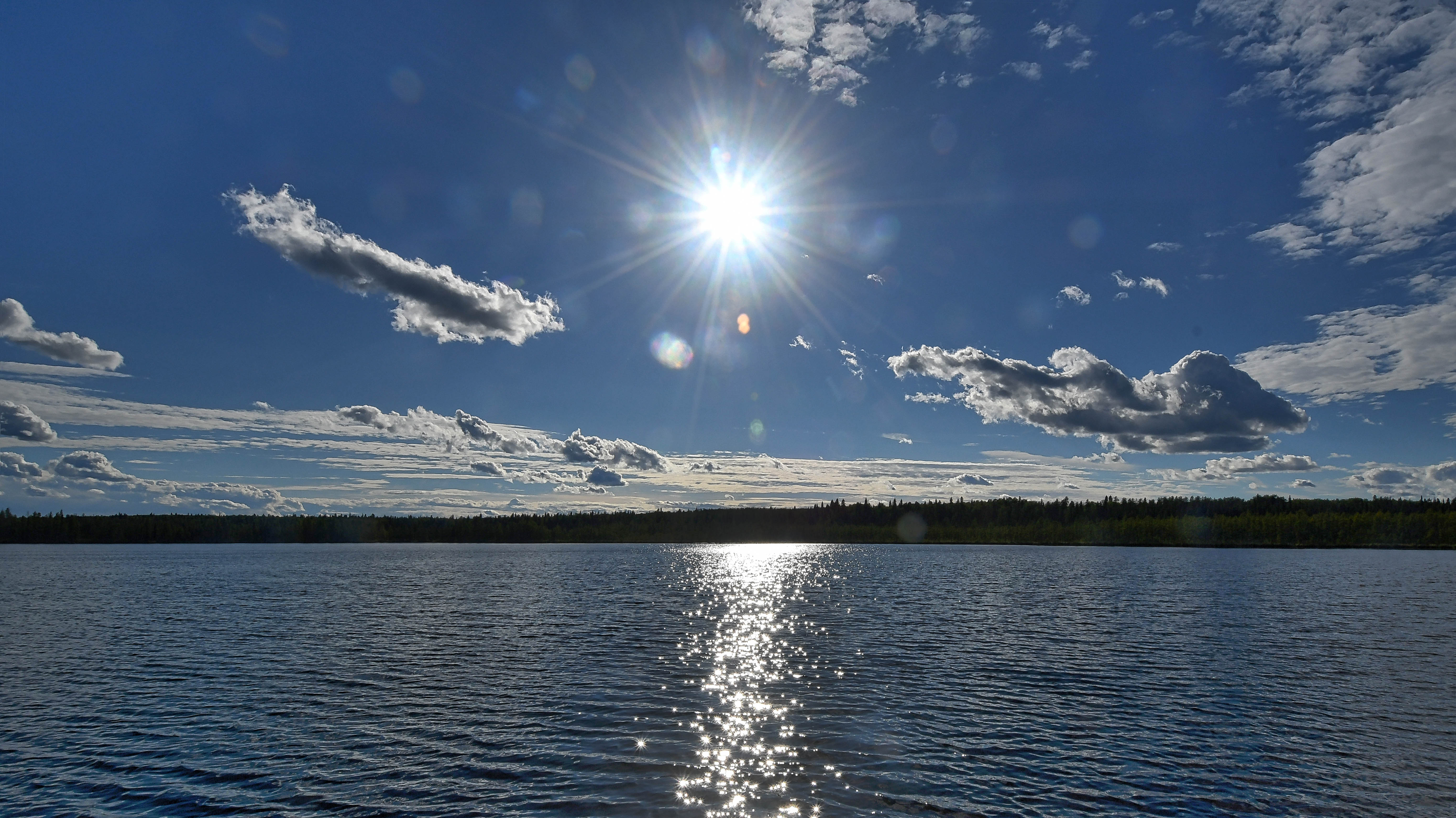


A closer look at the natural beauty

Homeward Bound
Edinburgh Scotland (1) – The Forth Bridges
On a clear day and soaring around 35,000 feet above ground, you can capture some wonderful land patterns. All my years of air travel, this part of the journey has always captivated me. It was the fall of 2015, when we caught the redeye to Amsterdam from Toronto via Reykjavik. This was always a favourite route of mine with the stopover in Iceland. It allowed us to stretch our legs and grab some expensive Icelandic snacks before we catch our connecting flight. Most cases it’s a 60 minute layover, give or take 15/20 minutes. However, with a mandatory visit at the EU border security, we’re not given much time to be selective at the snack bar. It’s a bit of an adrenalin rush mixed with anxiety as we make our choices. However, we have never missed a good snack and our flight.
With only three hours remaining to our destination, I decided to get some shut eye while we crossed the Atlantic. A couple of hours later, I awoke to see bits of landscape through a heavy clouded sky.
I decided to take the time and get some photos if the opportunity presented itself with a cloudless moment. With the knowledge that we were over Scotland, I had no clue to the actual location. I just snapped away with hopes of capturing some beautiful terrain.
I don’t normally view my photos until I return home where I can sort and label everything. Even then, my focus is zeroed in on the various cities and their local attractions.
It wasn’t until COVID struck that I was able to spend more time deleting any photos that I didn’t want. I came across these and was very surprised at what I had captured. After some research,I discovered that I had taken a photo of a historic structure in Edinburgh, Scotland. Three bridges crossing over the Firth of Forth. Each bridge was built in a different century. The Forth Bridge opened in 1890 and is now considered as a World Heritage site in Scotland. It holds the record as the world’s longest cantilever bridge. The Forth Road Bridge, aka Guid Passage was completed in 1964. The suspension bridge spans over 2.5 km in length. Queensbury Crossing opened traffic in 2017 (still incomplete in the photo). 2.7 km in length, it is the longest three-tower cable bridge in the world.
It was a surprising aerial photo. Just too bad it took me about 5 years to discover it.

l to r Forth Bridge, Forth Road Bridge and Queensbury Crossing
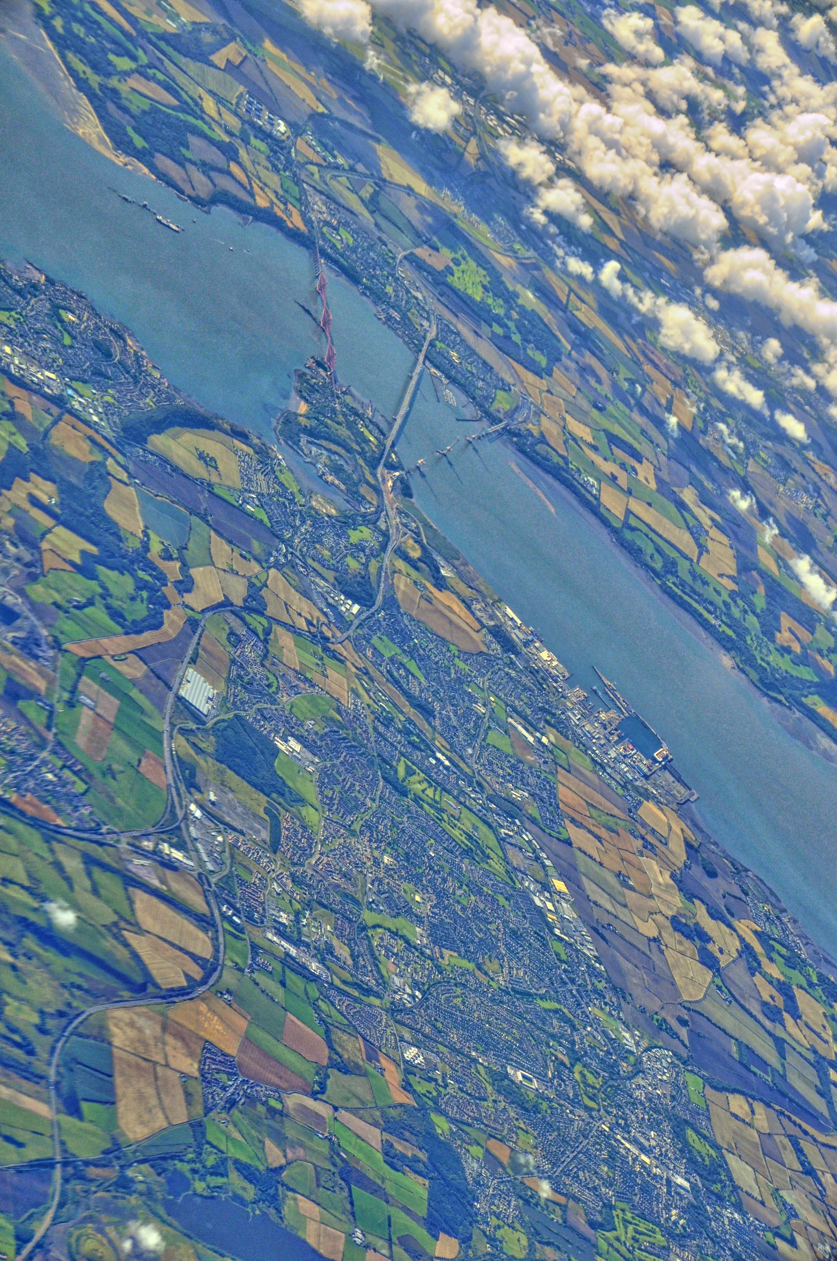
These photos were taken in 2015 and the Queensbury Bridge was not completed until 2017.
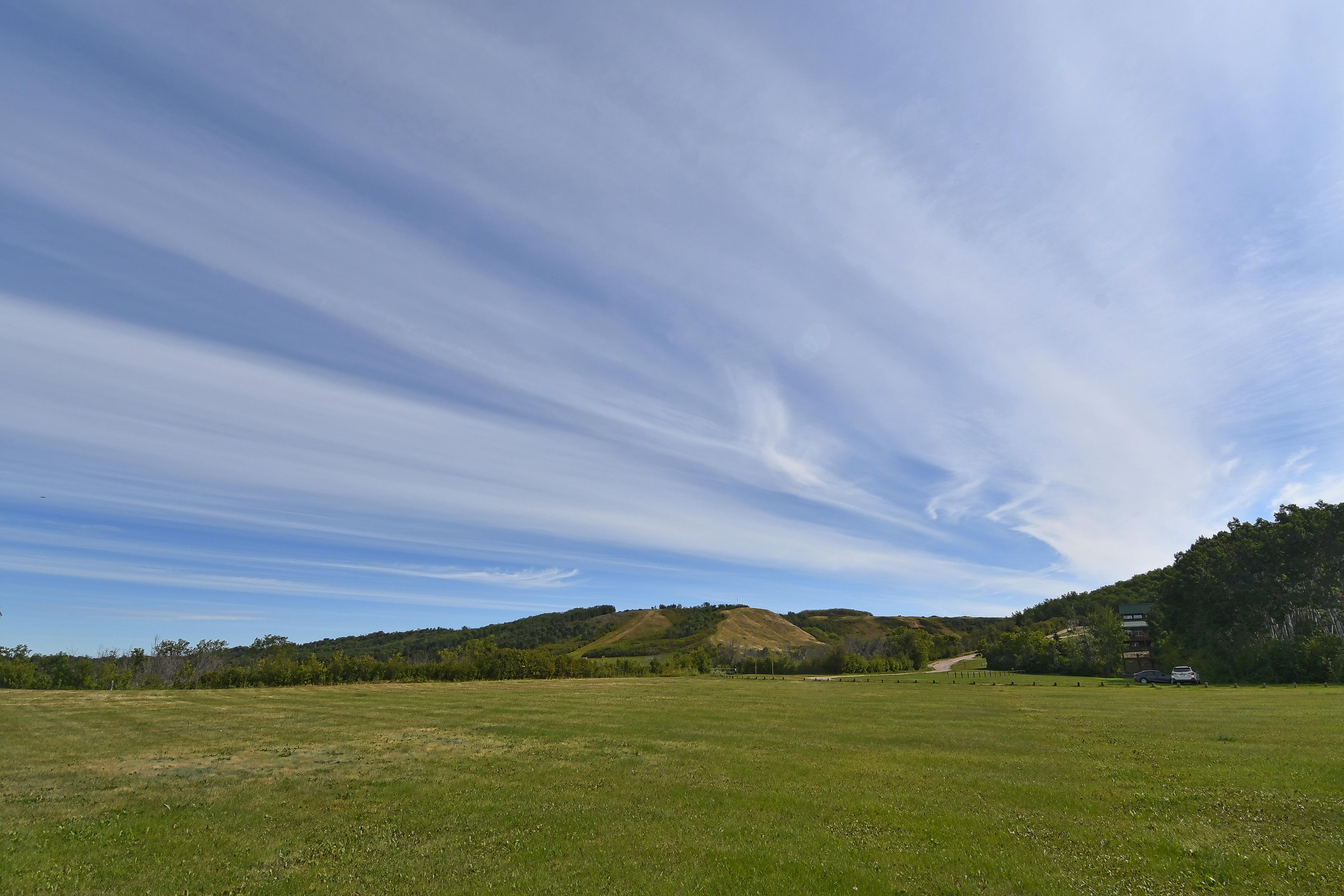
Saskatchewan Canada (9) – Shekinah Retreat Centre
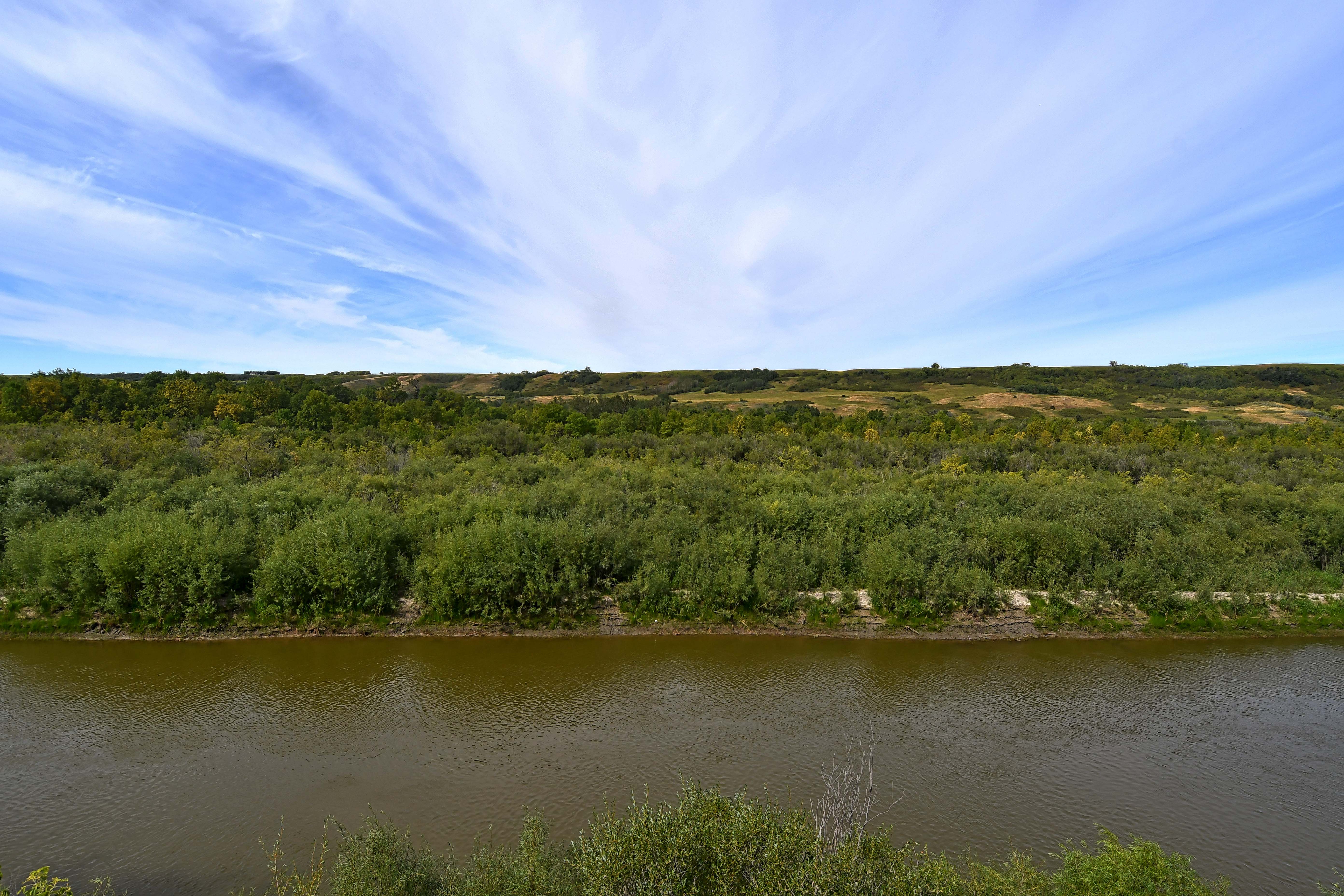
Shekinah Retreat Centre is located about 45 minutes north of Saskatoon along the North Saskatchewan River.
A gorgeous day, we spent a couple of hours wandering to the edge of the river and then climbing up Quill Hill. There are 14 trails with different physical levels for hiking, biking and skiing. I’m hoping to return later autumn to capture the color changes in the foliage. So peaceful, it was a true experience in the beauty of nature.
The following photos captures only a small portion of this wonderful area.
The Playing Field with Quill Hill, in the background
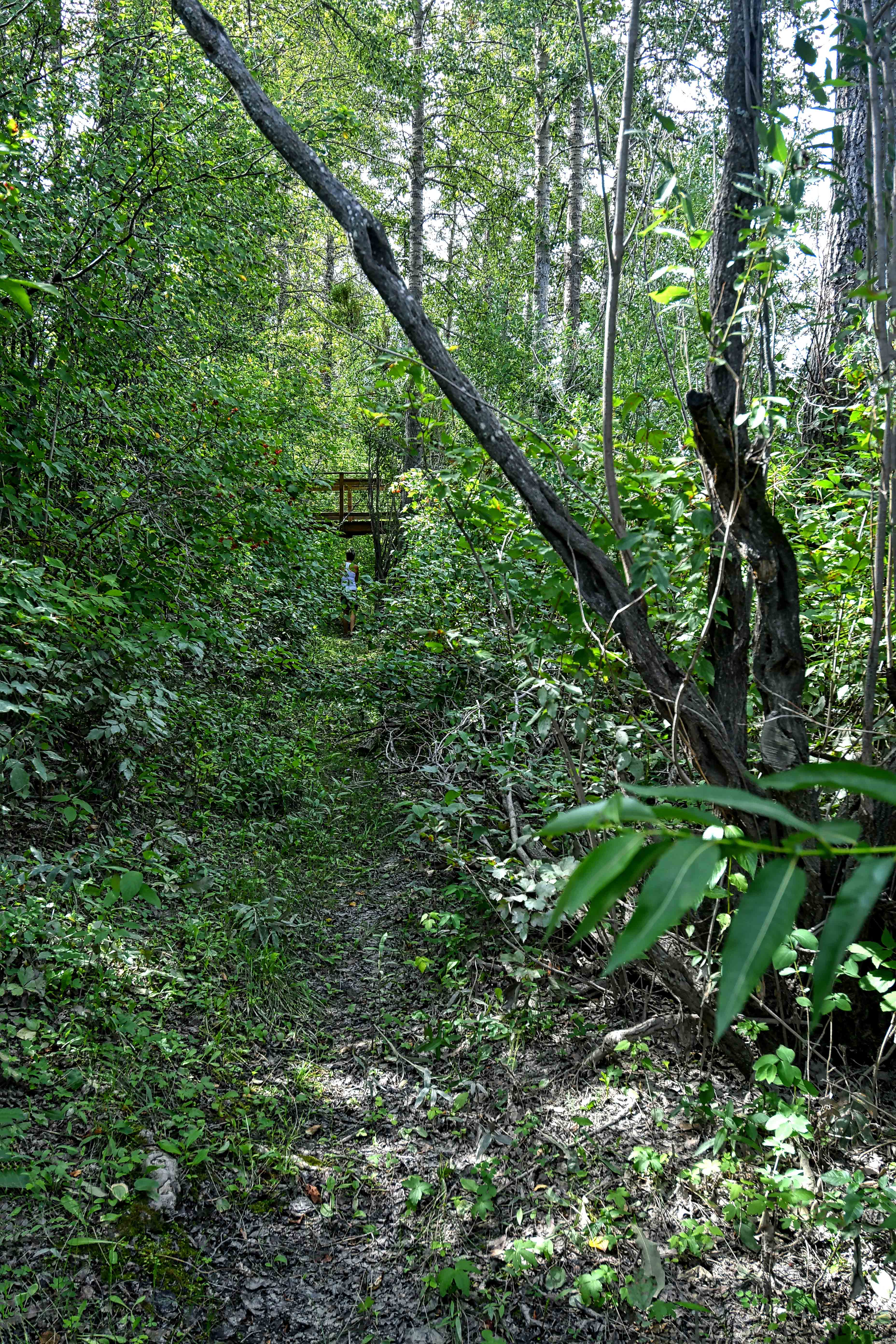
Thick foliage walk towards the river. This really wasn’t a true trail. We kind of went off course for a few meters.

So many different shades of greenery

From the tower, we get a panoramic view
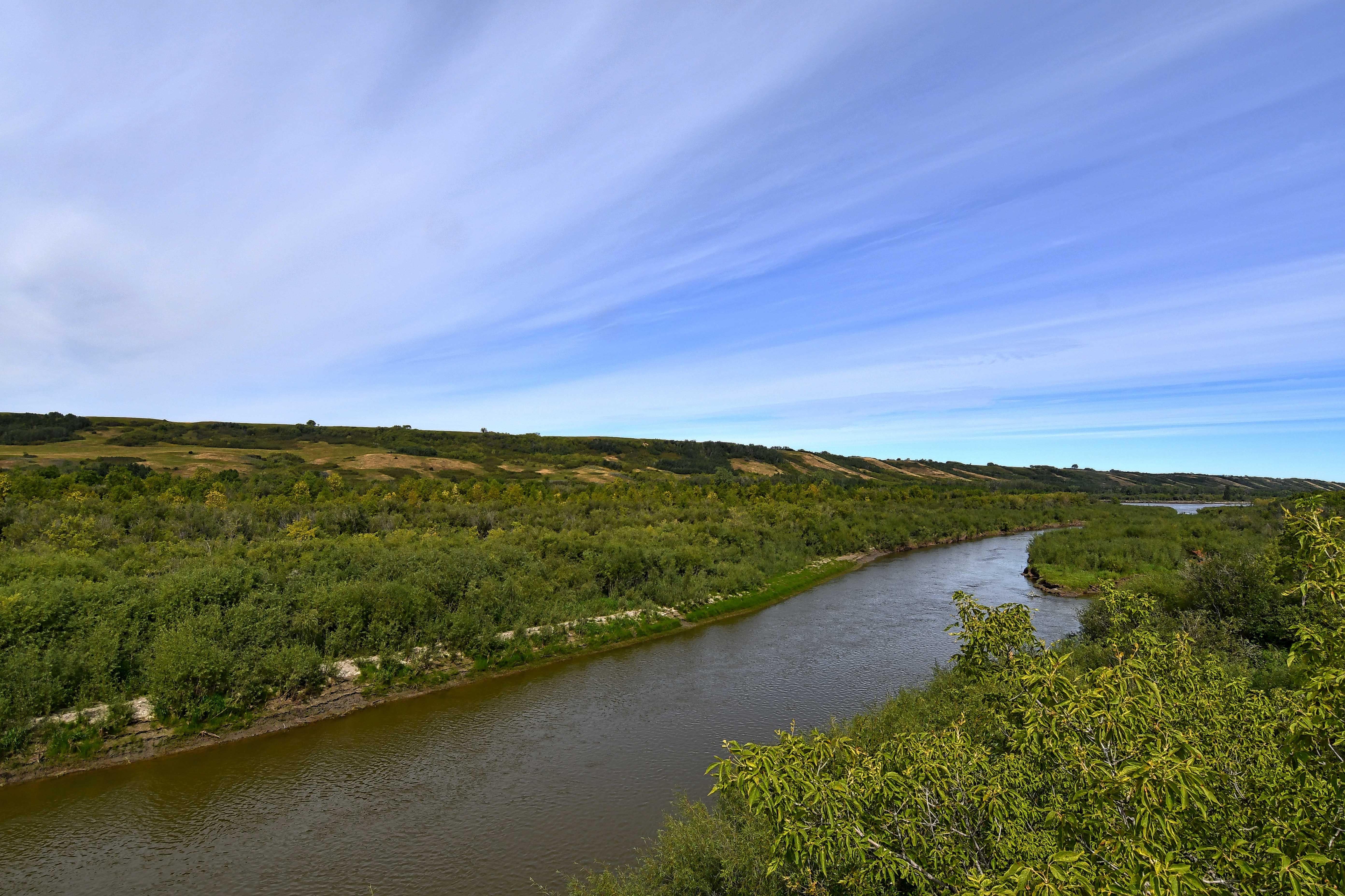
North Saskatchewan River is split by Redekopp Island (on the left)
Redekopp Island


A closer look at some summer foliage

On their map they called this a swimming/skating lake. I’m not sure about the swimming part.


My grandson, Beckett sits on the seating available around the Amphitheatre. Timber Lodge on the background.

From Quill Hill looking back towards Timber Lodge (green rooftop on the right)

The creek runs through the valley. You can hike along either side on Ravine Trail.

From Quill Hill, you can see the North Saskatchewan River. My daughter Amber is ahead of me. You should be able to see Beckett and my husband, Rod, on the trail in the distance.
