Alberta, Canada – Frank Slide
It was always a somber moment during the few times I passed through Frank Slide The knowledge that there were human lives buried under approximately 150 feet of rock was always a time of serious thought.
On Highway 3, the town of Frank is located in the southwest edge of Alberta right beside Turtle Mountain. On April 29, 1903 at 4:20 AM, approximately 119 million metric tonnes of rock slid down and covered 1 kilometre wide space filling it 425 metres high and 150 metres thick. and all within 90 seconds.
It wasn’t until 2022 that we made the point of stopping to take a closer look. The photos (except the first one) are taken from the .9-mile trail that starts and ends at the parking lot.
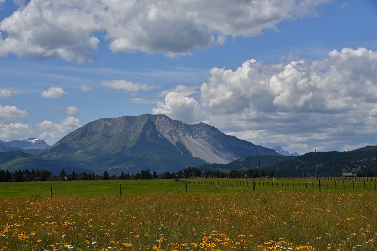
A view of Frank Slide from Lee Lake

From the Frank Slide Trail

3 square kilometres at the valley bottom
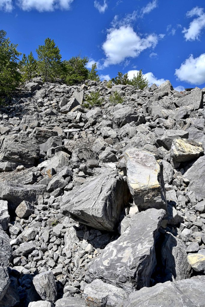
An average of 14 metres deep with some spots as deep as 45 metres
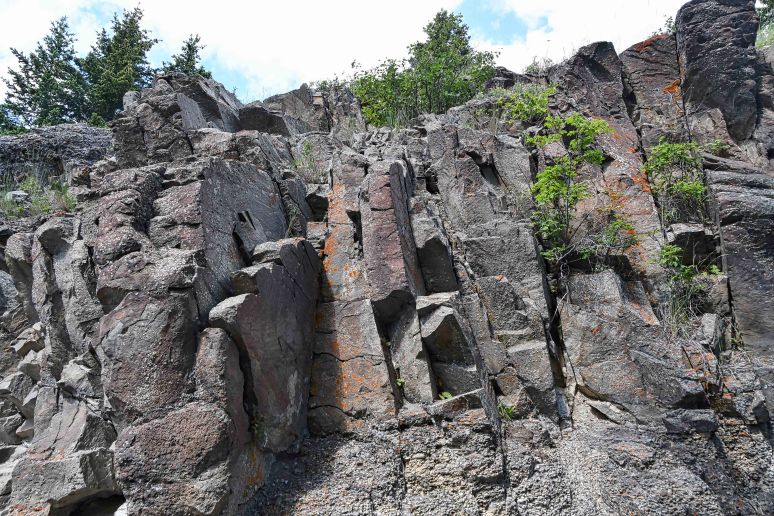
Horizontal layers of sedimentary rock folds during the mountain building process and becomes vertical to create instabillity
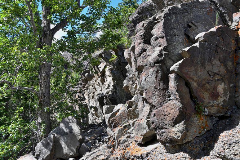
Greenery that didn’t get destroyed

Part of the Frank Slide trail gets shaded
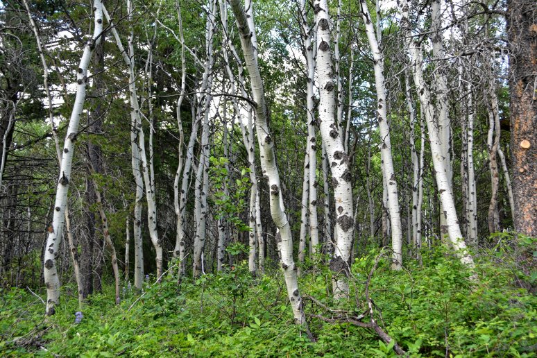
White Birch

Natural made steps helps with the uphill climb
